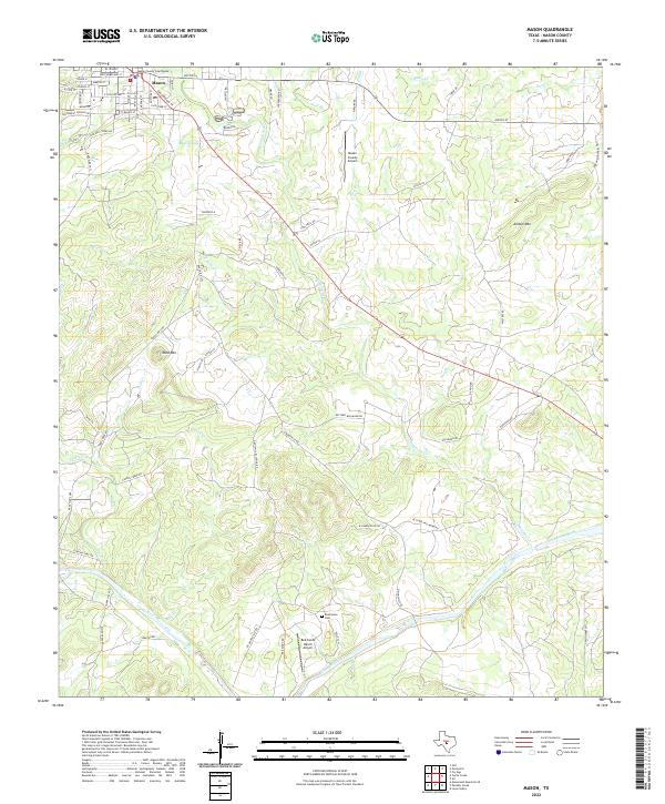
2022 Map of Mason
USGS Topo · Published 2022About this map
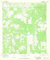
The Mason County Courthouse stands at the heart of the settlement of Mason, serving as a focal point for the surrounding Texas Hill Country landscape. This map illustrates a transition from the town’s grid, featuring streets like El Paso St and Austin St, to the broader agricultural and ranching lands defined by the southern flow of the Llano River. The terrain is marked by prominent elevations such as Todd Mtn and Jordan Mtn, with a dense network of watercourses including Comanche Cr and Rafael Cr carving through the limestone-inflected geography.
Find a feature on this map
69 named features on this map. Tap any name to fly to it.
Don’t see what you’re looking for? This feature index may not catch every label — zoom into the map to look around manually.
Map Details
Editions of this 2022 Mason Map
This is the sole edition of this map. No revisions or reprints were ever made.
Other maps of this area

1887 · Mason
USGS Topo · 1:125,000

1894 · Mason
USGS Topo · 1:125,000

1954 · Llano
USGS Topo · 1:250,000

1955 · Llano
USGS Topo · 1:250,000

1956 · Llano
USGS Topo · 1:250,000

1962 · Purdy Hill
USGS Topo · 1:24,000
1962 · Fly Gap
USGS Topo · 1:24,000
1967 · Loyal Valley
USGS Topo · 1:24,000
1967 · Panther Creek
USGS Topo · 1:24,000
1967 · Art
USGS Topo · 1:24,000