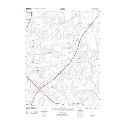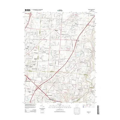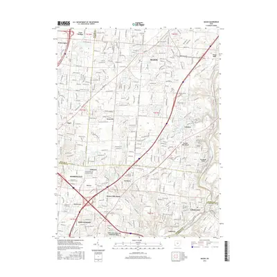
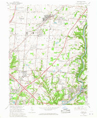
1965 Map of Mason
USGS Topo · Published 1976About this map
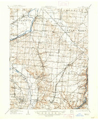
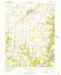
The U S Reservation Voice of America occupies a significant portion of this Warren County landscape, punctuated by multiple radio towers and the prominent Radio Tower (WLW). This corridor between the Miami River and Little Miami River shows a transitioning suburban fabric where established settlements like Mason and Kings Mills are joined by newer residential developments. The area's history as a transportation and stagecoach route is evident in the naming of roadside hamlets such as Sixteen Mile Stand and Twenty Mile Stand. The Penn Central and Baltimore and Ohio railroads parallel the river valleys and major roads, supporting the region's industrial growth. Local civic life is anchored by institutions like the Western Row Sch, Rose Hill Cem, and the expansive Gate of Heaven Cemetery.
Find a feature on this map
70 named features on this map. Tap any name to fly to it.
Don’t see what you’re looking for? This feature index may not catch every label — zoom into the map to look around manually.
Map Details
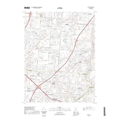
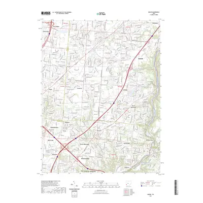
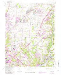
Editions of this 1965 Mason Map
4 editions found
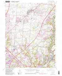
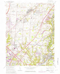
Historical Maps of Mason Through Time
9 maps found