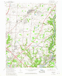
1965 Map of Mason
USGS Topo · Published 1968About this map
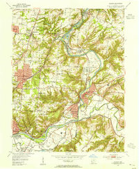
The U S Reservation Voice of America dominates the northwestern landscape of this mid-1960s survey, marked by its sprawling array of Radio Towers. This Cold War-era facility is situated just north of Pisgah and west of the growing community of Mason. The map illustrates a region in transition, where established rural crossroads like Socialville and Sixteen Mile Stand meet the expanding suburban fringes of Blue Ash and Montgomery.
Find a feature on this map
69 named features on this map. Tap any name to fly to it.
Don’t see what you’re looking for? This feature index may not catch every label — zoom into the map to look around manually.
Map Details
Editions of this 1965 Mason Map
4 editions found
Other maps of this area

1898 · East Cincinnati
USGS Topo · 1:62,500

1904 · Mason
USGS Topo · 1:62,500

1906 · Mason
USGS Topo · 1:62,500

1914 · East Cincinnati
USGS Topo · 1:62,500

1914 · Batavia
USGS Topo · 1:48,000

1914 · Morrow
USGS Topo · 1:62,500

1916 · Batavia
USGS Topo · 1:62,500

1916 · Morrow
USGS Topo · 1:62,500

1953 · Goshen
USGS Topo · 1:24,000
1953 · Madeira
USGS Topo · 1:24,000