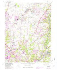
1965 Map of Mason
USGS Topo · Published 1982About this map
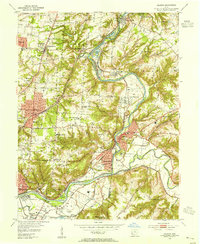
The U S Reservation Voice of America facility dominates the northwestern quadrant of this landscape, a significant landmark during the Cold War era. This portion of southwest Ohio shows a region in transition as suburban development from Sharonville and Montgomery pushes northward toward the established community of Mason. The map preserves the historic nomenclature of stagecoach stops and early settlements along major thoroughfares, most notably Sixteen Mile Stand and Twenty Mile Stand.
Find a feature on this map
65 named features on this map. Tap any name to fly to it.
Don’t see what you’re looking for? This feature index may not catch every label — zoom into the map to look around manually.
Map Details
Editions of this 1965 Mason Map
4 editions found
Other maps of this area

1898 · East Cincinnati
USGS Topo · 1:62,500

1904 · Mason
USGS Topo · 1:62,500

1906 · Mason
USGS Topo · 1:62,500

1914 · East Cincinnati
USGS Topo · 1:62,500

1914 · Batavia
USGS Topo · 1:48,000

1914 · Morrow
USGS Topo · 1:62,500

1916 · Batavia
USGS Topo · 1:62,500

1916 · Morrow
USGS Topo · 1:62,500

1953 · Goshen
USGS Topo · 1:24,000
1953 · Madeira
USGS Topo · 1:24,000