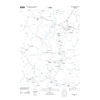
2013 Map of Masontown
USGS Topo · Published 2013About this map
The Monongahela River carves a deep path through this southwestern Pennsylvania landscape, anchoring a network of river-fronting settlements including Greensboro, New Geneva, and Glassworks. To the east, the borough of Masontown sits on higher ground, serving as a hub for the surrounding coal and agricultural lands. The map documents an intricate pattern of local history, where small settlements like Little Chicago, Mount Sterling, and Rocks Works are connected by a dense grid of township roads.
Find a feature on this map
204 named features on this map. Tap any name to fly to it.
Don’t see what you’re looking for? This feature index may not catch every label — zoom into the map to look around manually.
Map Details
Editions of this 2013 Masontown Map
This is the sole edition of this map. No revisions or reprints were ever made.
Other maps of this area

1900 · Masontown
USGS Topo · 1:62,500

1901 · Waynesburg
USGS Topo · 1:62,500

1902 · Morgantown
USGS Topo · 1:62,500

1903 · Masontown
USGS Topo · 1:62,500

1904 · Blacksville
USGS Topo · 1:62,500

1904 · Waynesburg
USGS Topo · 1:62,500

1923 · Blacksville
USGS Topo · 1:62,500

1925 · Blacksville
USGS Topo · 1:62,500

1925 · Morgantown
USGS Topo · 1:62,500

1931 · Masontown
USGS Topo · 1:62,500