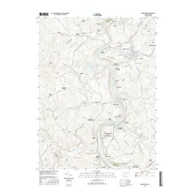
2016 Map of Masontown
USGS Topo · Published 2016About this map
The Monongahela River carves a deep valley through this borderland between Greene and Fayette Counties, anchoring a landscape shaped by early industry and settlement. On the eastern bank, Masontown serves as the primary hub, surrounded by smaller communities like Grays Landing and Martin. Across the water, the historic home of Albert Gallatin is preserved at the Friendship Hill National Historic Site near New Geneva.
Find a feature on this map
98 named features on this map. Tap any name to fly to it.
Don’t see what you’re looking for? This feature index may not catch every label — zoom into the map to look around manually.
Map Details
Editions of this 2016 Masontown Map
This is the sole edition of this map. No revisions or reprints were ever made.
Other maps of this area

1900 · Masontown
USGS Topo · 1:62,500

1901 · Waynesburg
USGS Topo · 1:62,500

1902 · Morgantown
USGS Topo · 1:62,500

1903 · Masontown
USGS Topo · 1:62,500

1904 · Blacksville
USGS Topo · 1:62,500

1904 · Waynesburg
USGS Topo · 1:62,500

1923 · Blacksville
USGS Topo · 1:62,500

1925 · Blacksville
USGS Topo · 1:62,500

1925 · Morgantown
USGS Topo · 1:62,500

1931 · Masontown
USGS Topo · 1:62,500