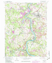
2023 Map of Masontown
USGS Topo · Published 2023About this map
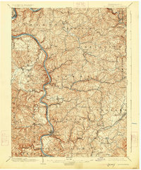
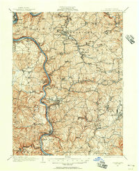
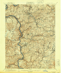
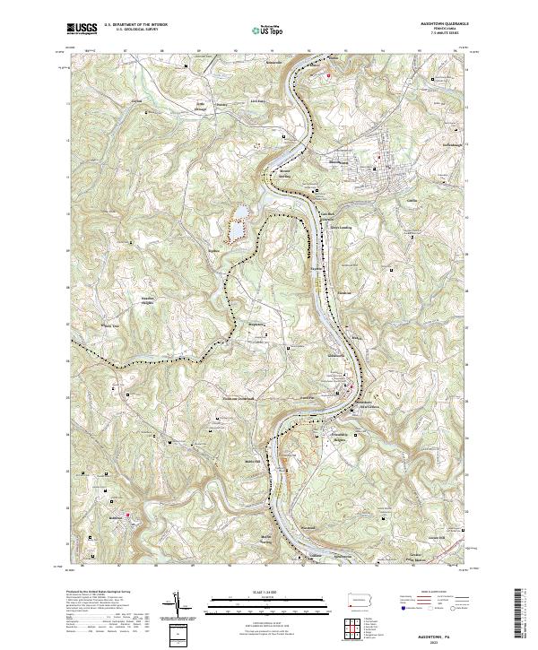
The Monongahela River carves a deep, winding path through this corner of southwestern Pennsylvania, forming a natural boundary between Greene and Fayette Counties. The landscape is defined by its early American origins, most notably at the Friendship Hill National Historic Site and the nearby Old Stone House Cem. Small industrial and residential settlements like Nemacolin, Ronco, and Masontown are connected by a network of rural routes including New Geneva Rd and Mount Sterling Rd.
Find a feature on this map
118 named features on this map. Tap any name to fly to it.
Don’t see what you’re looking for? This feature index may not catch every label — zoom into the map to look around manually.
Map Details
Editions of this 2023 Masontown Map
This is the sole edition of this map. No revisions or reprints were ever made.
Historical Maps of Mable Hill Through Time
6 maps found