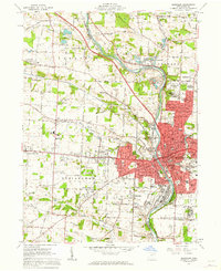
1961 Map of Massillon
USGS Topo · Published 1963About this map
The Tuscarawas River carves through the heart of Stark County, defining the industrial and civic layout of Massillon during the early 1960s. This survey captures a dense network of residential developments and institutions, notably the sprawling grounds of the Massillon State Hospital and the Massillon City Hospital. The era's transportation infrastructure is prominently displayed, with the Pennsylvania Railroad and Baltimore and Ohio Railroad following the river valley, while the newer Lincoln Way serves as a primary east-west artery through Mayflower Village and West Brookfield.
Find a feature on this map
84 named features on this map. Tap any name to fly to it.
Don’t see what you’re looking for? This feature index may not catch every label — zoom into the map to look around manually.
Map Details
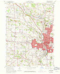
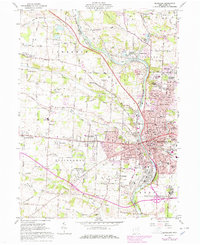
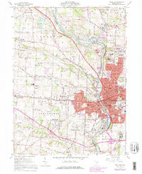
Editions of this 1961 Massillon Map
4 editions found
Other maps of this area

1901 · Massillon
USGS Topo · 1:62,500

1901 · Canton
USGS Topo · 1:62,500

1903 · Massillon
USGS Topo · 1:62,500

1903 · Canton
USGS Topo · 1:62,500

1912 · Dover
USGS Topo · 1:62,500

1914 · Navarre
USGS Topo · 1:62,500

1944 · Navarre
USGS Topo · 1:62,500

1944 · Dover
USGS Topo · 1:62,500

1951 · Canton
USGS Topo · 1:250,000

1951 · Bolivar
USGS Topo · 1:24,000