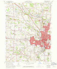
1961 Map of Massillon
USGS Topo · Published 1971About this map
The Tuscarawas River carves a deep industrial and transportation corridor through this Stark County landscape, anchoring the city of Massillon. By the early 1960s, the urban core was flanked by expanding residential developments like Amherst Heights and Mayflower Village, while the massive grounds of the Massillon State Hospital dominated the southeastern edge of the city. The area's transit heritage is visible in the converging lines of the Penn Central, Baltimore and Ohio, and Norfolk and Western railroads, which served the numerous quarries and industrial sites along the riverbanks.
Find a feature on this map
110 named features on this map. Tap any name to fly to it.
Don’t see what you’re looking for? This feature index may not catch every label — zoom into the map to look around manually.
Map Details
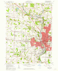
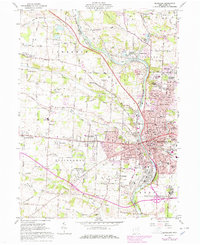
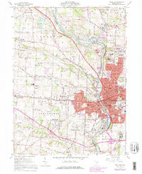
Editions of this 1961 Massillon Map
4 editions found
Other maps of this area

1901 · Massillon
USGS Topo · 1:62,500

1901 · Canton
USGS Topo · 1:62,500

1903 · Massillon
USGS Topo · 1:62,500

1903 · Canton
USGS Topo · 1:62,500

1912 · Dover
USGS Topo · 1:62,500

1914 · Navarre
USGS Topo · 1:62,500

1944 · Navarre
USGS Topo · 1:62,500

1944 · Dover
USGS Topo · 1:62,500

1951 · Canton
USGS Topo · 1:250,000

1951 · Bolivar
USGS Topo · 1:24,000