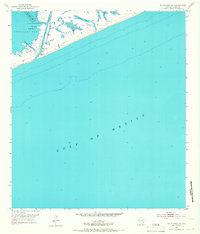
1952 Map of Matagorda SW
USGS Topo · Published 1967About this map
The Matagorda Peninsula forms a narrow barrier between the high-energy waters of the Gulf of Mexico and the calmer reaches of Matagorda Bay. This 1952 topographic survey captures the delicate hydrology of the Texas coast before major modern interventions, highlighting the discharge of the Colorado River as it cuts through the peninsula. Local navigation and coastal life are centered around the natural inlets and hazards, such as Dog Island Reef and Tiger Island Channel.
Find a feature on this map
13 named features on this map. Tap any name to fly to it.
Don’t see what you’re looking for? This feature index may not catch every label — zoom into the map to look around manually.
Map Details
Editions of this 1952 Matagorda SW Map
2 editions found
Other maps of this area

1951 · Bay City
USGS Topo · 1:250,000

1952 · Palacios SE
USGS Topo · 1:24,000

1952 · Matagorda
USGS Topo · 1:24,000

1952 · Dressing Point
USGS Topo · 1:24,000
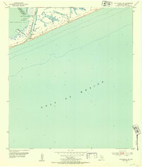
1952 · Matagorda SW
USGS Topo · 1:24,000

1952 · Palacios NE
USGS Topo · 1:24,000

1953 · Beeville
USGS Topo · 1:250,000

1956 · Beeville
USGS Topo · 1:250,000

1956 · Bay City
USGS Topo · 1:250,000

1958 · Bay City
USGS Topo · 1:250,000