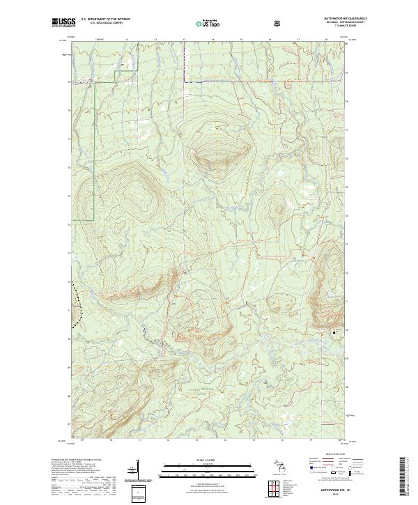
2023 Map of Matchwood NW
USGS Topo · Published 2023About this map
Ottawa National Forest dominates this section of Ontonagon County, revealing a landscape defined by its river systems and recreational trail networks. The Ontonagon Wild and Scenic River and its various branches, including the West Branch Ontonagon River and East Branch Ontonagon River, carve through the terrain, joined by numerous named tributaries like Bebo Creek and Mill Creek. The topography is notably marked by the Trap Hills in the western portion of the quadrangle. Local history and industry are represented by the Norwich Mine Site Trl and the nearby Norwich Cem, located in the southeastern quadrant. The map detail highlights an extensive system of forest roads and trails, such as the North Country National Scenic Trl and the Bergland Snowmobile #12 Trl, which provide access to this dense forest environment near the southern shores of Lake Superior.
Find a feature on this map
54 named features on this map. Tap any name to fly to it.
Don’t see what you’re looking for? This feature index may not catch every label — zoom into the map to look around manually.
Map Details
Editions of this 2023 Matchwood NW Map
This is the sole edition of this map. No revisions or reprints were ever made.
Other maps of this area

1949 · Matchwood NW
USGS Topo · 1:24,000

1949 · White Pine
USGS Topo · 1:24,000

1949 · Bergland NE
USGS Topo · 1:24,000

1955 · Ontonagon
USGS Topo · 1:62,500

1956 · Bergland NE
USGS Topo · 1:24,000

1956 · Bergland
USGS Topo · 1:62,500

1956 · White Pine
USGS Topo · 1:24,000

1956 · Matchwood NW
USGS Topo · 1:24,000

1956 · White Pine
USGS Topo · 1:62,500

1956 · Matchwood
USGS Topo · 1:62,500