
1950 Map of Matthews
USGS Topo · Published 1950About this map
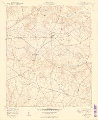
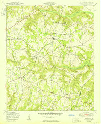
Matthews serves as a central hub in this post-war rural landscape, where a dense network of country roads like Middle Ground Road and Quaker Road connects scattered agricultural settlements. The area is defined by its social and spiritual centers, featuring an exceptional concentration of community landmarks such as Thomason Spring Hill Church and School, Harmony Church, and Mt Moriah Church. Water-driven industry is evident at Newton's Mill along Reedy Creek, which utilized Newton's Mill Race for power. The map also records the transition between Jefferson and Burke counties, marked by the Jefferson Burke Co Co line. From the crossing at Brinson Crossing to the small community of Stellaville, the survey provides a detailed view of family-named cemeteries and rural schoolhouses like Atwell School that once anchored these Georgia communities.
Find a feature on this map
41 named features on this map. Tap any name to fly to it.
Don’t see what you’re looking for? This feature index may not catch every label — zoom into the map to look around manually.
Map Details
Editions of this 1950 Matthews Map
3 editions found
Other maps of this area

1919 · Gough
USGS Topo · 1:62,500

1920 · Stapleton
USGS Topo · 1:62,500

1922 · Harlem
USGS Topo · 1:62,500

1922 · Hephzibah
USGS Topo · 1:62,500

1948 · Hephzibah
USGS Topo · 1:62,500

1948 · Harlem
USGS Topo · 1:62,500

1948 · Stapleton
USGS Topo · 1:62,500

1948 · Gough
USGS Topo · 1:62,500

1948 · Blythe
USGS Topo · 1:24,000

1948 · Louisville
USGS Topo · 1:24,000