
1908 Map of Maud
USGS Topo · Published 1908About this map
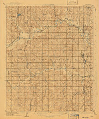
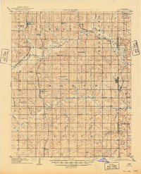
The Little River and Salt Creek define the geography of this central Oklahoma landscape just after statehood. This survey, conducted in cooperation with the Territory of Oklahoma, reveals a dense network of early rural settlements and country schools prior to major highway development. The eastern edge is marked by the Pottawatomie Co Seminole Co line, which divides the town of Maud. The area is a crossroads of early transport, featuring the Atchison Topeka and Santa Fe RR cutting through the northwest and the Chicago Rock Island and Pacific RR running south toward Pearson. Significant cultural landmarks include the Sacred Heart P.O. and Georgetown in the south, alongside numerous namesake educational sites like New Paradise School and Meadow View School that anchored these early twentieth-century farming communities.
Find a feature on this map
59 named features on this map. Tap any name to fly to it.
Don’t see what you’re looking for? This feature index may not catch every label — zoom into the map to look around manually.
Map Details
Editions of this 1908 Maud Map
3 editions found
Other maps of this area

1896 · Seminole and Prague
USGS Topo · 1:125,000

1898 · Purcell
USGS Topo · 1:125,000

1898 · Pauls Valley
USGS Topo · 1:125,000

1901 · Stonewall
USGS Topo · 1:125,000

1902 · Pauls Valley
USGS Topo · 1:125,000

1907 · Maud
USGS Topo · 1:62,500

1909 · Shawnee
USGS Topo · 1:62,500

1910 · McComb
USGS Topo · 1:62,500

1930 · McLoud
USGS Topo · 1:62,500

1954 · Oklahoma City
USGS Topo · 1:250,000