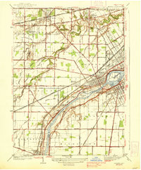
1938 Map of Maumee
USGS Topo · Published 1938About this map
The Maumee River corridor serves as the primary artery of this 1930s landscape, illustrating a complex network of transportation and historical sites across the border of Lucas and Wood counties. The map documents a significant era where the Miami and Erie Canal is marked as abandoned, yet its path remains a prominent feature of the terrain alongside the newer rail lines like the New York Central RR and the Baltimore and Ohio RR. This transition from canal to rail economy is anchored by established settlements like Maumee, Perrysburg, and Waterville.
Find a feature on this map
57 named features on this map. Tap any name to fly to it.
Don’t see what you’re looking for? This feature index may not catch every label — zoom into the map to look around manually.
Map Details
Editions of this 1938 Maumee Map
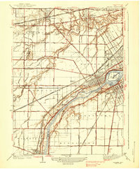
2 editions found
Other maps of this area

1900 · Toledo
USGS Topo · 1:62,500
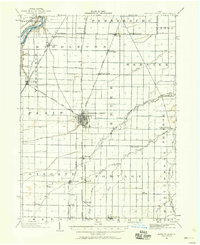
1901 · Bowling Green
USGS Topo · 1:62,500
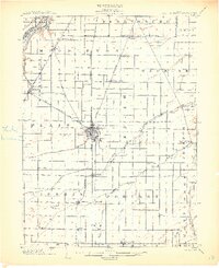
1903 · Bowling Green
USGS Topo · 1:62,500
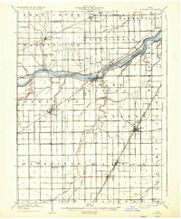
1909 · Mc Clure
USGS Topo · 1:62,500
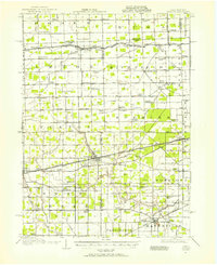
1911 · Swanton
USGS Topo · 1:62,500
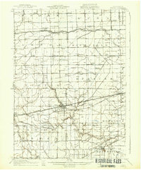
1914 · Swanton
USGS Topo · 1:62,500
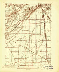
1934 · Rossford
USGS Topo · 1:24,000
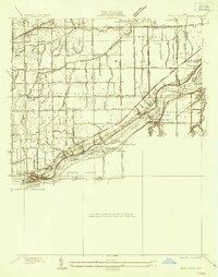
1935 · Grand Rapids
USGS Topo · 1:24,000
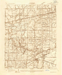
1935 · Whitehouse
USGS Topo · 1:24,000
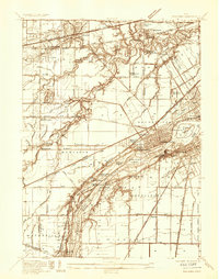
1935 · Maumee
USGS Topo · 1:24,000