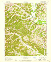
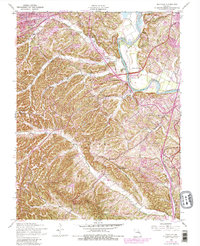
1954 Map of Maxville
USGS Topo · Published 1959About this map
The Meramec River winds through the border between St Louis Co and Jefferson Co, serving as a central geographic feature in this mid-century landscape. The area is characterized by a series of named creek valleys, including Saline Creek, Sugar Creek, and Romaine Creek, which carved the winding terrain before the suburban expansion of later decades. While the San Francisco RR and Lemay Ferry Road provide the primary transport corridors, the map reveals a network of small, rural settlements and family landmarks. Community life in the 1950s is anchored by institutions like Bowles Sch, St Johns Ch, and the Boy Scout Camp. Near the village of Maxville, local history is preserved in the Richardson Cem and McCormack Cem, showing the generational footprint of this Jefferson County region.
Find a feature on this map
38 named features on this map. Tap any name to fly to it.
Don’t see what you’re looking for? This feature index may not catch every label — zoom into the map to look around manually.
Map Details
Editions of this 1954 Maxville Map
5 editions found
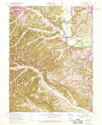
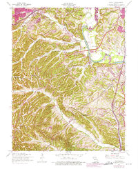
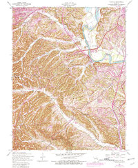
Other maps of this area

1901 · De Soto
USGS Topo · 1:125,000

1903 · O'Fallon
USGS Topo · 1:125,000

1912 · Kimmswick
USGS Topo · 1:62,500

1916 · Kimmswick
USGS Topo · 1:62,500

1930 · Pacific SE
USGS Topo · 1:24,000

1931 · Manchester SE
USGS Topo · 1:24,000

1931 · Pacific NE
USGS Topo · 1:24,000

1933 · Jefferson Barracks
USGS Topo · 1:24,000

1933 · Kirkwood
USGS Topo · 1:24,000
1940 · Kirkwood
USGS Topo · 1:24,000
Featured Places
- Arnold, Arnold Township
- Murphy, Rock Township
- Windsor Township, MO
- Imperial Township, MO
- Shady Valley, Rock Township