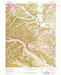
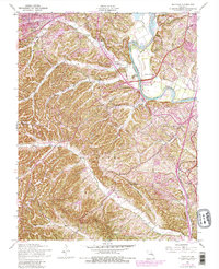
1954 Map of Maxville
USGS Topo · Published 1969About this map
The Meramec River serves as a natural boundary between Jefferson and St. Louis counties on this mid-century topographic survey. Steep, dissected ridges characterize the landscape south of the river, where creek systems like Romaine Creek and Rock Creek have carved deep valleys. Scattered settlements such as Maxville and Seckman sit along these drainages, connected by winding rural roads that follow the valley floors.
Find a feature on this map
32 named features on this map. Tap any name to fly to it.
Don’t see what you’re looking for? This feature index may not catch every label — zoom into the map to look around manually.
Map Details
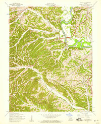
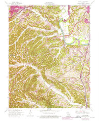
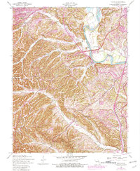
Editions of this 1954 Maxville Map
5 editions found
Other maps of this area

1901 · De Soto
USGS Topo · 1:125,000

1903 · O'Fallon
USGS Topo · 1:125,000

1912 · Kimmswick
USGS Topo · 1:62,500

1916 · Kimmswick
USGS Topo · 1:62,500

1930 · Pacific SE
USGS Topo · 1:24,000

1931 · Manchester SE
USGS Topo · 1:24,000

1931 · Pacific NE
USGS Topo · 1:24,000

1933 · Jefferson Barracks
USGS Topo · 1:24,000

1933 · Kirkwood
USGS Topo · 1:24,000
1940 · Kirkwood
USGS Topo · 1:24,000