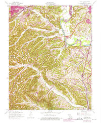
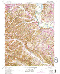
1954 Map of Maxville
USGS Topo · Published 1975About this map
The Meramec River carves a sharp boundary between St. Louis and Jefferson Counties, framing a landscape where suburban expansion begins to meet the wooded ridges of the eastern Ozark foothills. This 1954 survey, updated with 1970s revisions, captures the growth of communities like Murphy and Paulina Hills alongside traditional riverfront landmarks. The eastern corridor is dominated by the historic Lemay Ferry route, connecting the old settlements of Maxville, Arnold, and Beck.
Find a feature on this map
36 named features on this map. Tap any name to fly to it.
Don’t see what you’re looking for? This feature index may not catch every label — zoom into the map to look around manually.
Map Details
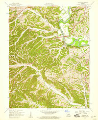
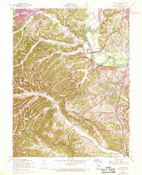
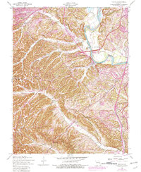
Editions of this 1954 Maxville Map
5 editions found
Other maps of this area

1901 · De Soto
USGS Topo · 1:125,000

1903 · O'Fallon
USGS Topo · 1:125,000

1912 · Kimmswick
USGS Topo · 1:62,500

1916 · Kimmswick
USGS Topo · 1:62,500

1930 · Pacific SE
USGS Topo · 1:24,000

1931 · Manchester SE
USGS Topo · 1:24,000

1931 · Pacific NE
USGS Topo · 1:24,000

1933 · Jefferson Barracks
USGS Topo · 1:24,000

1933 · Kirkwood
USGS Topo · 1:24,000
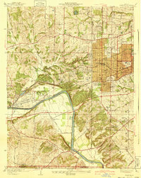
1940 · Kirkwood
USGS Topo · 1:24,000