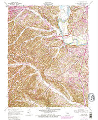
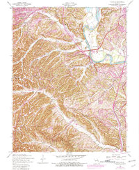
1954 Map of Maxville
USGS Topo · Published 1982About this map
Meramec River currents define the northern and eastern boundary of this mid-century landscape in Jefferson County. The terrain transitions from the river bottoms near Butler Lakes and Arnold into the heavily dissected ridges of Prairie Hollow and Frisco Hill. While the northern reaches show increasing development around Murphy and Springdale Park, the central and southern portions of the map reveal a more rural pattern of scattered dwellings and family-named landmarks.
Find a feature on this map
29 named features on this map. Tap any name to fly to it.
Don’t see what you’re looking for? This feature index may not catch every label — zoom into the map to look around manually.
Map Details
Editions of this 1954 Maxville Map
5 editions found
Other maps of this area

1901 · De Soto
USGS Topo · 1:125,000

1903 · O'Fallon
USGS Topo · 1:125,000

1912 · Kimmswick
USGS Topo · 1:62,500

1916 · Kimmswick
USGS Topo · 1:62,500

1930 · Pacific SE
USGS Topo · 1:24,000

1931 · Manchester SE
USGS Topo · 1:24,000

1931 · Pacific NE
USGS Topo · 1:24,000

1933 · Jefferson Barracks
USGS Topo · 1:24,000

1933 · Kirkwood
USGS Topo · 1:24,000
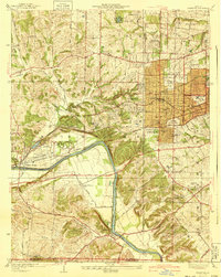
1940 · Kirkwood
USGS Topo · 1:24,000