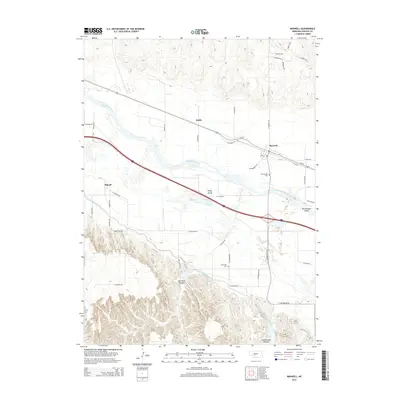
2014 Map of Maxwell
USGS Topo · Published 2014About this map
The Platte River valley dominates this Lincoln County landscape, where the braided channels of the river divide the terrain into distinct landmarks like Brady Island and McCullough Island. The village of Maxwell serves as a primary hub along the northern bank, positioned near the junction of Us-30 and N Maxwell Rd. To the south, the engineering of the Tri-County Supply Canal cuts through the plains, eventually leading into the more complex topography of Box Elder Canyon and Cottonwood Canyon. These southern reaches are defined by sharper relief and water management features like Ross Reservoir. This 2014 survey documents a classic Nebraska transition from irrigated river-bottom agriculture to the dissected canyon lands, preserving the locations of local landmarks such as McCullough Cem and the settlement of Bignell.
Find a feature on this map
45 named features on this map. Tap any name to fly to it.
Don’t see what you’re looking for? This feature index may not catch every label — zoom into the map to look around manually.
Map Details
Editions of this 2014 Maxwell Map
This is the sole edition of this map. No revisions or reprints were ever made.
Other maps of this area

1899 · North Platte
USGS Topo · 1:125,000

1902 · Gothenburg
USGS Topo · 1:125,000

1902 · North Platte
USGS Topo · 1:125,000

1954 · McCook
USGS Topo · 1:250,000

1954 · North Platte
USGS Topo · 1:250,000

1956 · North Platte
USGS Topo · 1:250,000

1956 · Wellfleet NW
USGS Topo · 1:24,000

1956 · Wellfleet NE
USGS Topo · 1:24,000

1957 · North Platte
USGS Topo · 1:250,000

1957 · McCook
USGS Topo · 1:250,000