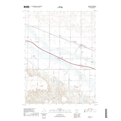
2017 Map of Maxwell
USGS Topo · Published 2017About this map
The Platte River valley defines this Lincoln County landscape, carving a wide path where braided channels weave around landforms like Brady Island and McCullough Island. North of the river, the village of Maxwell sits near the tracks, while to the south, the smaller settlement of Bignell is situated along the Tri-County Supply Canal. This engineering project cuts across the southern plains, redirecting water through a series of elevated banks and siphons.
Find a feature on this map
48 named features on this map. Tap any name to fly to it.
Don’t see what you’re looking for? This feature index may not catch every label — zoom into the map to look around manually.
Map Details
Editions of this 2017 Maxwell Map
This is the sole edition of this map. No revisions or reprints were ever made.
Other maps of this area

1899 · North Platte
USGS Topo · 1:125,000

1902 · Gothenburg
USGS Topo · 1:125,000

1902 · North Platte
USGS Topo · 1:125,000

1954 · McCook
USGS Topo · 1:250,000

1954 · North Platte
USGS Topo · 1:250,000

1956 · North Platte
USGS Topo · 1:250,000

1956 · Wellfleet NW
USGS Topo · 1:24,000

1956 · Wellfleet NE
USGS Topo · 1:24,000

1957 · North Platte
USGS Topo · 1:250,000

1957 · McCook
USGS Topo · 1:250,000