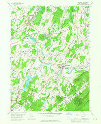
1957 Map of Maybrook
USGS Topo · Published 1966About this map
Moodna Creek and its many tributaries, including Cromline Creek and Satterly Creek, carve through this central Orange County landscape during the mid-1950s. The region is defined by a dense intersection of historical rail lines, where the New York New Haven and Hartford meets the Erie RR and the Lehigh and Hudson River. These corridors supported a network of small dairy and agricultural communities like Maybrook, Blooming Grove, and Rock Tavern.
Find a feature on this map
53 named features on this map. Tap any name to fly to it.
Don’t see what you’re looking for? This feature index may not catch every label — zoom into the map to look around manually.
Map Details
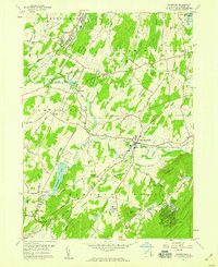
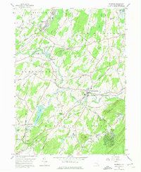
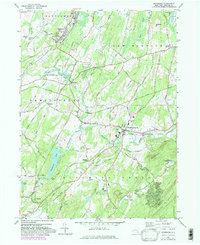
Editions of this 1957 Maybrook Map
4 editions found
Other maps of this area

1902 · Schunemunk
USGS Topo · 1:62,500

1903 · Newburg
USGS Topo · 1:62,500

1904 · Ellenville
USGS Topo · 1:62,500

1906 · Ellenville
USGS Topo · 1:62,500

1906 · Goshen
USGS Topo · 1:62,500

1908 · Goshen
USGS Topo · 1:62,500

1930 · Schunemunk
USGS Topo · 1:48,000

1935 · Schunemunk
USGS Topo · 1:62,500

1938 · Goshen
USGS Topo · 1:62,500

1942 · Goshen
USGS Topo · 1:24,000