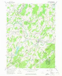
1957 Map of Maybrook
USGS Topo · Published 1974About this map
Washingtonville and Maybrook serve as anchor points in this mid-century survey of Orange County, where the rail-and-river network of the Erie RR and Moodna Creek defines the local geography. The landscape transitions from the industrial character of the Maybrook Substation and rail yards to the residential clusters at Blooming Grove and the seasonal leisure of Tomahawk Lake. Genealogists will find a dense concentration of local burial grounds, including the Woodhull Cem, Sears Cem, and Heard Cem, many associated with family names and early landholders. To the southeast, the terrain rises significantly toward Schunnemunk Mountain, while the northeast corner shows the early footprint of Stewart A F Base. The presence of the Otter Kill Golf and Country Club and various pumping stations suggests a mid-century community balancing traditional agriculture with emerging suburban and military infrastructure.
Find a feature on this map
61 named features on this map. Tap any name to fly to it.
Don’t see what you’re looking for? This feature index may not catch every label — zoom into the map to look around manually.
Map Details
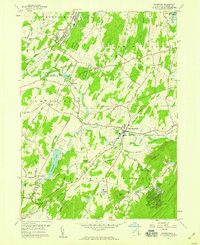
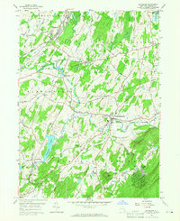
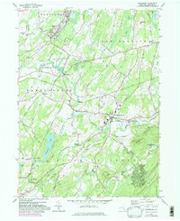
Editions of this 1957 Maybrook Map
4 editions found
Other maps of this area

1902 · Schunemunk
USGS Topo · 1:62,500

1903 · Newburg
USGS Topo · 1:62,500

1904 · Ellenville
USGS Topo · 1:62,500

1906 · Ellenville
USGS Topo · 1:62,500

1906 · Goshen
USGS Topo · 1:62,500

1908 · Goshen
USGS Topo · 1:62,500

1930 · Schunemunk
USGS Topo · 1:48,000

1935 · Schunemunk
USGS Topo · 1:62,500

1938 · Goshen
USGS Topo · 1:62,500

1942 · Goshen
USGS Topo · 1:24,000