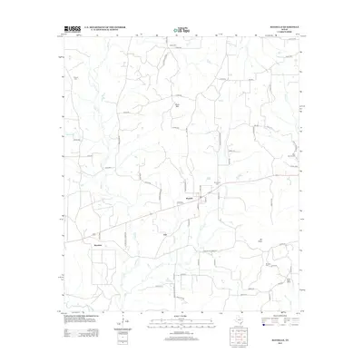
2013 Map of Maydelle
USGS Topo · Published 2013About this map
Maydelle serves as the central hub of this East Texas landscape, where the local road network converges near the Mt Comfort Cem. The terrain is defined by the winding course of the Neches River along the southwestern edge and the prominence of Ghent Mtn to the north. Smaller settlements like Java, Mewshaw, and Mt Hope are scattered throughout, connected by a web of county roads and farm-to-market routes such as FM 2138.
Find a feature on this map
68 named features on this map. Tap any name to fly to it.
Don’t see what you’re looking for? This feature index may not catch every label — zoom into the map to look around manually.
Map Details
Editions of this 2013 Maydelle Map
This is the sole edition of this map. No revisions or reprints were ever made.
Other maps of this area

1943 · Rusk
USGS Topo · 1:62,500

1945 · Rusk
USGS Topo · 1:62,500

1946 · Alto
USGS Topo · 1:62,500

1951 · Jacksonville
USGS Topo · 1:62,500

1952 · Slocum
USGS Topo · 1:62,500

1953 · Palestine
USGS Topo · 1:250,000

1957 · Palestine
USGS Topo · 1:250,000
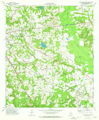
1973 · Jacksonville East
USGS Topo · 1:24,000
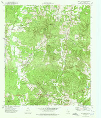
1973 · Pryor Mountain
USGS Topo · 1:24,000
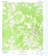
1973 · Rusk
USGS Topo · 1:24,000