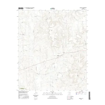
2016 Map of Maydelle
USGS Topo · Published 2016About this map
Maydelle serves as the central hub of this East Texas survey, where the local road network converges along the western edge of Cherokee County. The landscape is defined by the winding paths of Gum Creek and One Arm Creek, which carve through a terrain punctuated by Ghent Mountain. This 2016 data shows a rural community structure deeply tied to its lineage, evidenced by numerous small family and community burial sites scattered across the hills. Genealogists will find significant value in the documentation of sites like Mount Comfort Cemetery, Tillman Cemetery, and Berge Cemetery. Further south, the settlement of Mt Hope and its namesake Mount Hope Cemetery mark a distinct localized neighborhood, while the Cherokee and Anderson county line establishes the western limit of the charted area.
Find a feature on this map
67 named features on this map. Tap any name to fly to it.
Don’t see what you’re looking for? This feature index may not catch every label — zoom into the map to look around manually.
Map Details
Editions of this 2016 Maydelle Map
This is the sole edition of this map. No revisions or reprints were ever made.
Other maps of this area

1943 · Rusk
USGS Topo · 1:62,500

1945 · Rusk
USGS Topo · 1:62,500

1946 · Alto
USGS Topo · 1:62,500

1951 · Jacksonville
USGS Topo · 1:62,500

1952 · Slocum
USGS Topo · 1:62,500

1953 · Palestine
USGS Topo · 1:250,000

1957 · Palestine
USGS Topo · 1:250,000
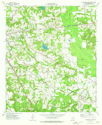
1973 · Jacksonville East
USGS Topo · 1:24,000
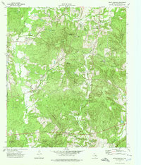
1973 · Pryor Mountain
USGS Topo · 1:24,000
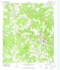
1973 · Rusk
USGS Topo · 1:24,000