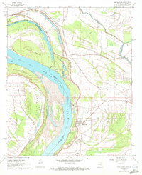
1970 Map of Mayersville
USGS Topo · Published 1972About this map
Mayersville sits at a critical bend in the Mississippi River, serving as a focal point for the alluvial landscape of Issaquena County. This 1970 survey reveals a river-driven economy and social structure, where the massive Levee separates the floodplain from agricultural lands. Evidence of ancient occupation is noted at the Indian Mounds near Rose Hill Cem, providing a deep chronological layer to the Mississippi Delta's history. The map documents a network of small settlements and local landmarks like Cottonwood, Hopedale, and the Issaquena Sch. The intricate hydrology of the area is well-defined, showing how the main channel interacts with secondary features like Old River Chute, Opossum Chute, and the Blue Hole. These waterways, combined with landmarks such as Millers Landing, illustrate the importance of river access even as modern infrastructure like the Tank Farm and Pipeline began to mark the territory.
Find a feature on this map
31 named features on this map. Tap any name to fly to it.
Don’t see what you’re looking for? This feature index may not catch every label — zoom into the map to look around manually.
Map Details
Editions of this 1970 Mayersville Map
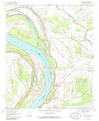
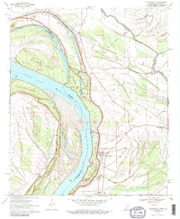
3 editions found
Other maps of this area

1909 · Lake Providence
USGS Topo · 1:24,000

1909 · Wilsons Point
USGS Topo · 1:24,000

1909 · Millikin
USGS Topo · 1:24,000

1911 · Lake Providence
USGS Topo · 1:31,680

1913 · Wilson Point
USGS Topo · 1:31,680

1939 · Lorenzen
USGS Topo · 1:62,500

1939 · Readland
USGS Topo · 1:62,500

1939 · Mayersville
USGS Topo · 1:62,500

1939 · Swan Lake
USGS Topo · 1:62,500

1953 · Greenwood
USGS Topo · 1:250,000