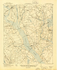
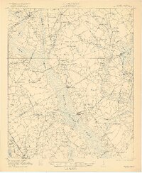
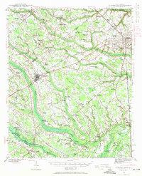
1921 Map of Mayesville
USGS Topo · Published 1945About this map
The Black River Swamp and Scape Oer Swamp dominate this rural landscape in the 1920s, defining the placement of roads and settlements across Sumter, Lee, and Clarendon counties. Higher ground is marked by an abundance of rural institutions, from the Brick Church and Beulah Church to the Witherspoon School and Plumhaw School, reflecting a deeply established agrarian community. Commercial life centered on local landmarks like Friersons Store and Wilsons Store, while the Atlantic Coast Line and Alcolu R. R. provided vital connections for the movement of goods and people. The map reveals the intricate network of local roads such as the Florence Line Road and Lynchburg Road, which navigate around the extensive wetland systems of Pudding Swamp and Dial Bay, illustrating how the region's geography dictated its early development patterns.
Find a feature on this map
72 named features on this map. Tap any name to fly to it.
Don’t see what you’re looking for? This feature index may not catch every label — zoom into the map to look around manually.
Map Details
Editions of this 1921 Mayesville Map
3 editions found
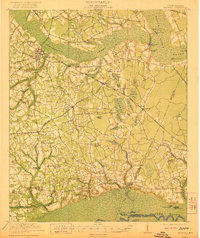
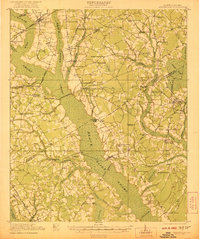
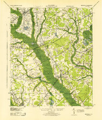
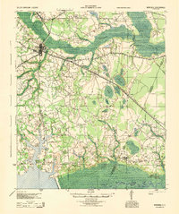
Other maps of this area

1920 · Mayesville
USGS Topo · 1:48,000

1920 · Manning
USGS Topo · 1:48,000
1921 · Manning
USGS Topo · 1:62,500
1921 · Mayesville
USGS Topo · 1:62,500
1940 · Florence West
USGS Topo · 1:62,500

1941 · Spartanburg
USGS Topo · 1:250,000
1943 · Mayesville
USGS Topo · 1:62,500
1944 · Manning
USGS Topo · 1:62,500

1945 · Florence West
USGS Topo · 1:62,500

1946 · Kingstree
USGS Topo · 1:62,500