
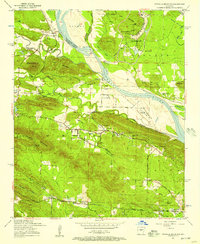
1953 Map of Mayflower
USGS Topo · Published 1957About this map
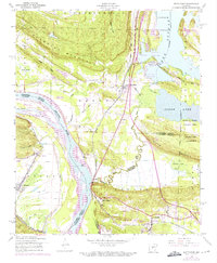
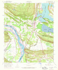
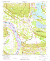
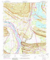
The Arkansas River serves as the dividing line between Faulkner and Pulaski counties in this mid-century survey, with the community of Mayflower anchored along the Missouri Pacific railroad. To the south, the landscape is heavily influenced by large-scale military and industrial land use, including the Maumelle Ordnance Works Military Reservation and the National Guard Training Area, formerly known as Camp J.T. Robinson. The terrain transitions from the river valley into the prominent elevations of Reynolds Mountain and Clifton Mountain. Local life is recorded through a network of rural landmarks such as White City Church, Mount Pilgrim Church, and Monnie Springs Church. This era also shows the expansion of infrastructure across the countryside, evidenced by an underground gas pipeline and an underground oil pipeline cutting through the hills and bottoms.
Find a feature on this map
33 named features on this map. Tap any name to fly to it.
Don’t see what you’re looking for? This feature index may not catch every label — zoom into the map to look around manually.
Map Details
Editions of this 1953 Mayflower Map
5 editions found
Other maps of this area

1890 · Benton
USGS Topo · 1:125,000

1891 · Little Rock
USGS Topo · 1:125,000

1892 · Morrillton
USGS Topo · 1:125,000

1893 · Little Rock
USGS Topo · 1:125,000

1894 · Morrillton
USGS Topo · 1:125,000

1894 · Benton
USGS Topo · 1:125,000

1935 · North Little Rock
USGS Topo · 1:24,000

1943 · Pinnacle Mtn
USGS Topo · 1:31,680

1953 · Cato
USGS Topo · 1:24,000
1954 · Pinnacle Mountain
USGS Topo · 1:24,000