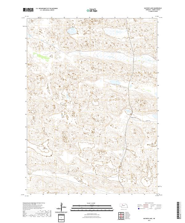
2021 Map of Mayhew Lake
USGS Topo · Published 2021About this map
Dry Valley and its surrounding sandhills define this portion of Cherry County, Nebraska, where the landscape is characterized by wide alluvial basins and seasonal hydrology. The area's history of rural settlement is anchored at the Dry Valley Cem, a key landmark for genealogists tracing family roots in this sparsely populated cattle country. Water is the primary driver of life and geography here, with Mayhew Lake and Little Steen Marsh providing critical habitat in the northern sections, while Big Creek meanders through the central ranchlands. The map reveals the functional organization of the landscape into large named flats such as Poole Flat and Marsh Flat, connected by a network of ranch roads including W Big Creek Rd and E Big Creek Rd. This survey documents the traditional land use patterns of the Great Plains, where natural valley features dictate the placement of local infrastructure and historic burial grounds.
Find a feature on this map
17 named features on this map. Tap any name to fly to it.
Don’t see what you’re looking for? This feature index may not catch every label — zoom into the map to look around manually.
Map Details
Editions of this 2021 Mayhew Lake Map
This is the sole edition of this map. No revisions or reprints were ever made.
Other maps of this area

1948 · Seneca
USGS Topo · 1:62,500

1948 · Mullen
USGS Topo · 1:62,500

1949 · Big Falls
USGS Topo · 1:62,500

1951 · Mullen
USGS Topo · 1:62,500

1951 · Seneca
USGS Topo · 1:62,500

1951 · Big Falls
USGS Topo · 1:62,500

1951 · Bull Lake
USGS Topo · 1:62,500

1957 · Valentine
USGS Topo · 1:250,000

1959 · Valentine
USGS Topo · 1:250,000

1985 · Mullen
USGS Topo · 1:100,000