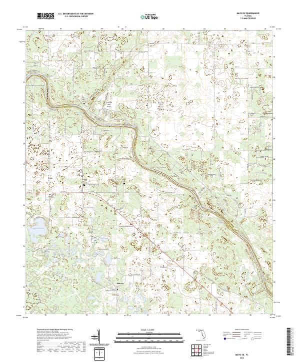
2024 Map of Mayo SE
USGS Topo · Published 2024About this map
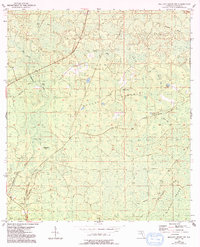
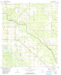
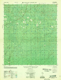
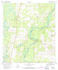
The Suwannee River carves a winding path through the borderlands of Suwannee and Lafayette Counties, defining a landscape of subterranean springs and karst features. This territory is characterized by numerous natural springs including Running Springs, Convict Spring, and Royal Springs, which emerge near the riverbanks. The settlement of Midway anchors the southern portion of the map, clustered around the Midway Baptist Church and its associated Midway Baptist Church Cem.
Find a feature on this map
122 named features on this map. Tap any name to fly to it.
Don’t see what you’re looking for? This feature index may not catch every label — zoom into the map to look around manually.
Map Details
Editions of this 2024 Mayo SE Map
This is the sole edition of this map. No revisions or reprints were ever made.
Historical Maps of Suwannee County Through Time
14 maps found
1954 Cooks Hammock
Lafayette County, FL
1954 Day SE
Lafayette County, FL
1954 Mallory Swamp NE
Lafayette County, FL
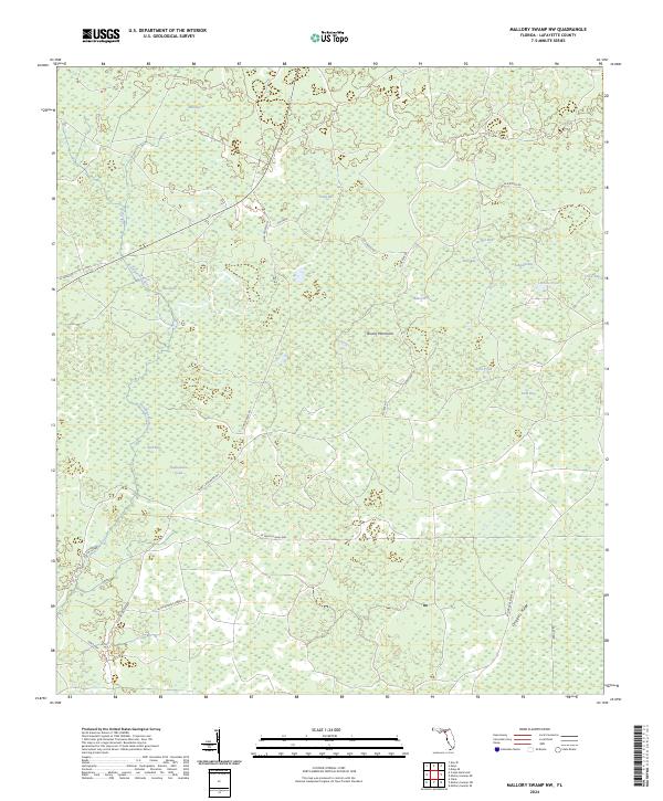
1954 Mallory Swamp NW
Lafayette County, FL
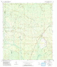
1955 Mayo SE
Lafayette County, FL
1956 Mallory Swamp NW
Lafayette County, FL
1968 Hatchbend
Lafayette County, FL
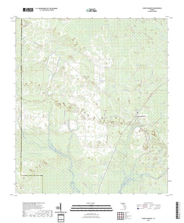
2024 Cooks Hammock
Lafayette County, FL
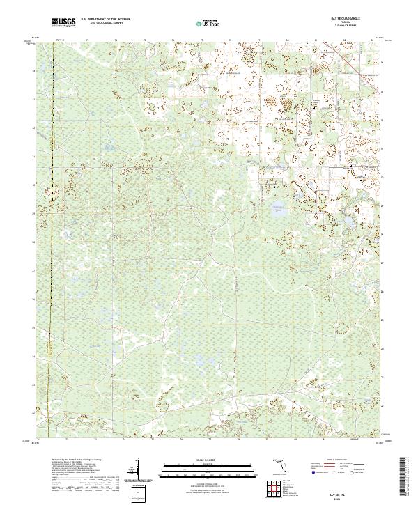
2024 Day SE
Lafayette County, FL
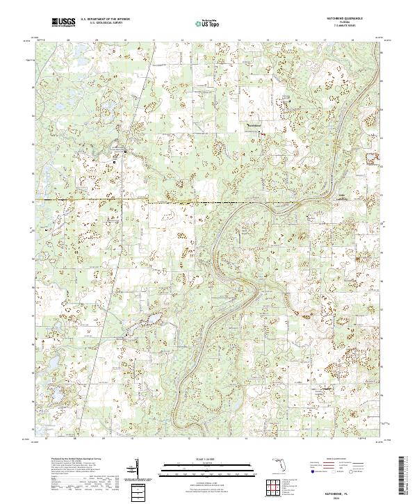
2024 Hatchbend
Lafayette County, FL
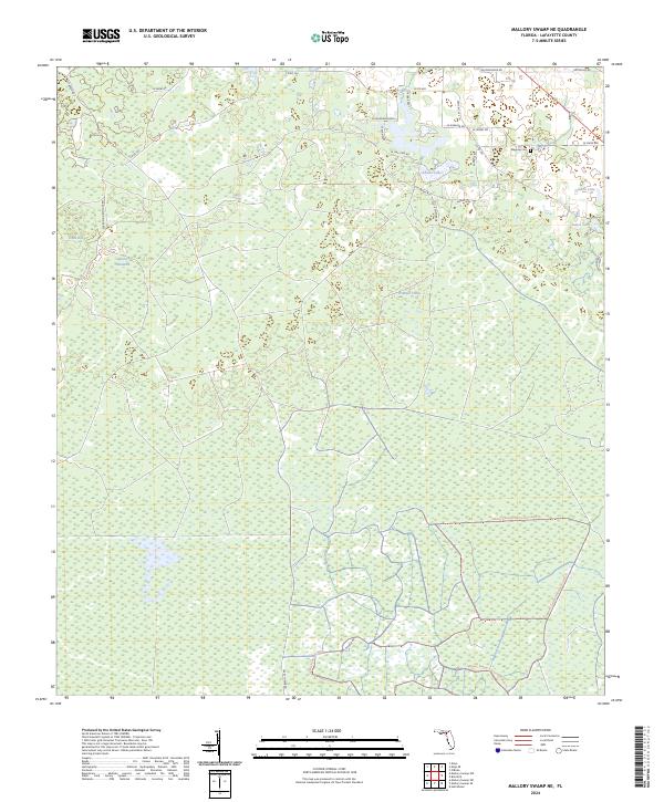
2024 Mallory Swamp NE
Lafayette County, FL
2024 Mallory Swamp NW
Lafayette County, FL
2024 Mayo SE
Lafayette County, FL

2025 Steinhatchee SW OE S
Lafayette County, FL