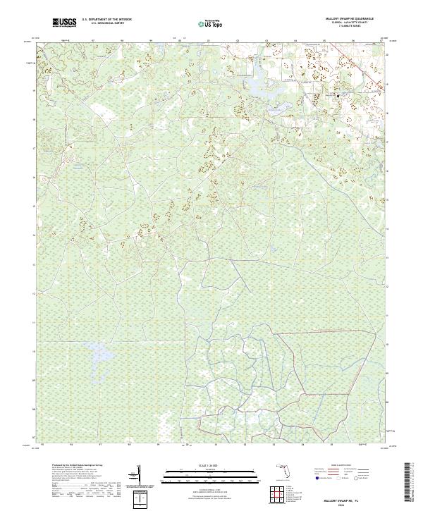
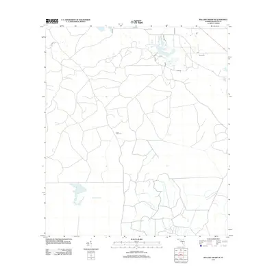
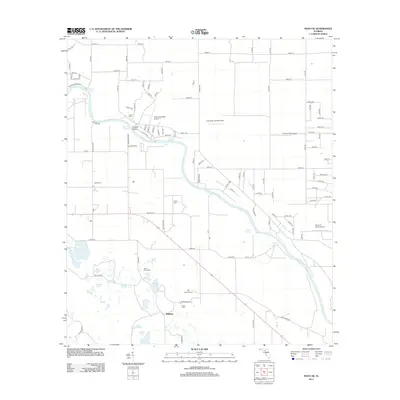
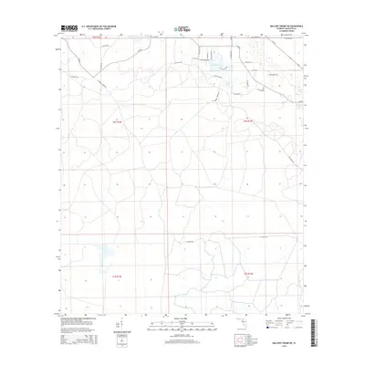
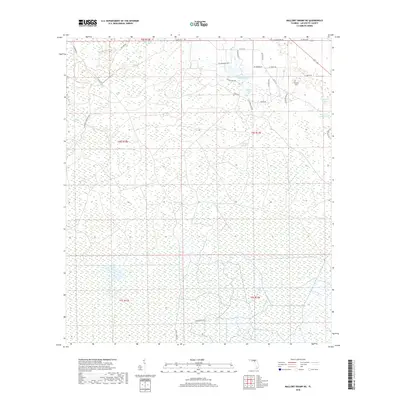
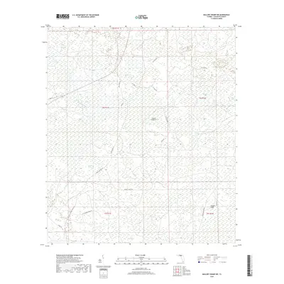
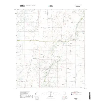
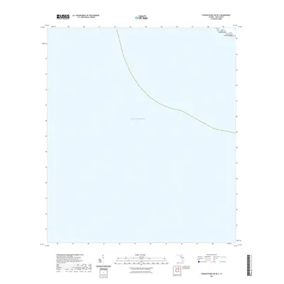
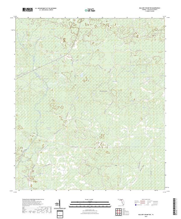
2024 Map of Mallory Swamp NE
USGS Topo · Published 2024About this map
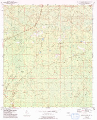
Maypop Cem lies in the northeastern reaches of this Lafayette County landscape, a vital point of reference for genealogists within a largely wetland terrain. The area is defined by the extensive Mallory Swamp Restoration Area Trl, where a network of unpaved roads and trails such as Tom Gunter Rd and Capps Tower Rd provides access to the interior. Small bodies of water and distinctive terrain features like Adams Lakes, Golden Lake, and Brushy Hammock interrupt the low-lying expanse. This modern survey reflects contemporary conservation efforts, with the restoration area occupying a significant portion of the southern and central sections, while residential development is concentrated along the northern boundary near Se Oak Tree Rd and Se Lakeshore Blvd.
Find a feature on this map
34 named features on this map. Tap any name to fly to it.
Don’t see what you’re looking for? This feature index may not catch every label — zoom into the map to look around manually.
Map Details
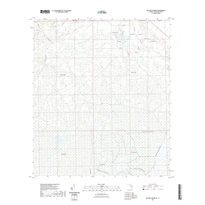
Editions of this 2024 Mallory Swamp NE Map
This is the sole edition of this map. No revisions or reprints were ever made.
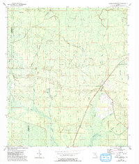
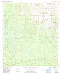
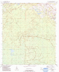
Historical Maps of Lafayette County Through Time
43 maps found
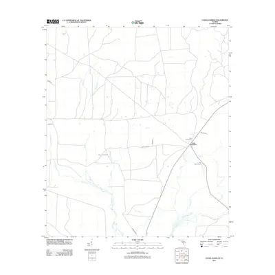
1954 Cooks Hammock
Lafayette County, FL
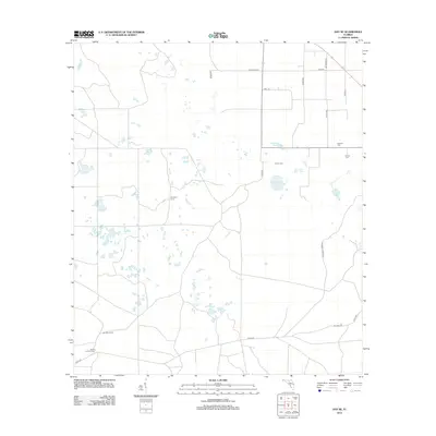
1954 Day SE
Lafayette County, FL
1954 Mallory Swamp NE
Lafayette County, FL
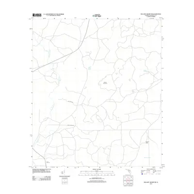
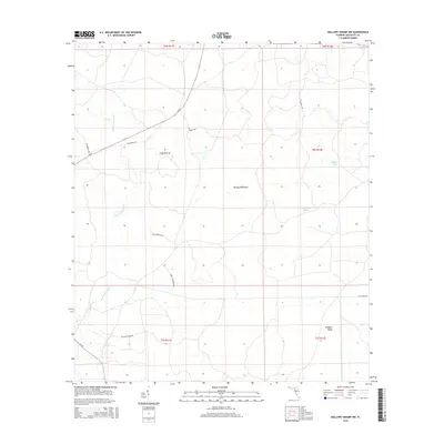
1954 Mallory Swamp NW
Lafayette County, FL
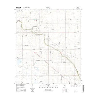
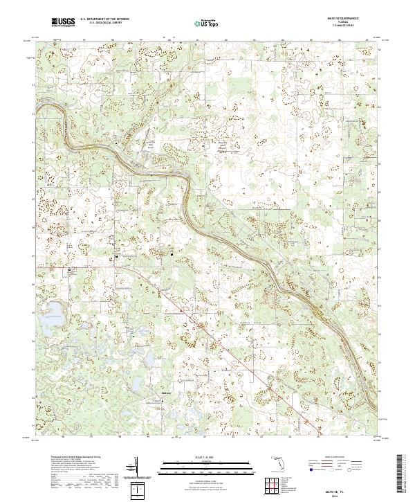
1955 Mayo SE
Lafayette County, FL
1956 Mallory Swamp NW
Lafayette County, FL
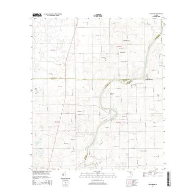
1968 Hatchbend
Lafayette County, FL
2012 Cooks Hammock
Lafayette County, FL
2012 Day SE
Lafayette County, FL

2012 Hatchbend
Lafayette County, FL
2012 Mallory Swamp NE
Lafayette County, FL
2012 Mallory Swamp NW
Lafayette County, FL
2012 Mayo SE
Lafayette County, FL
2012 Steinhatchee SW OE S
Lafayette County, FL
2015 Cooks Hammock
Lafayette County, FL
2015 Day SE
Lafayette County, FL
2015 Hatchbend
Lafayette County, FL
2015 Mallory Swamp NE
Lafayette County, FL
2015 Mallory Swamp NW
Lafayette County, FL
2015 Mayo SE
Lafayette County, FL
2015 Steinhatchee SW OE S
Lafayette County, FL
2018 Cooks Hammock
Lafayette County, FL
2018 Day SE
Lafayette County, FL

2018 Hatchbend
Lafayette County, FL
2018 Mallory Swamp NE
Lafayette County, FL
2018 Mallory Swamp NW
Lafayette County, FL
2018 Mayo SE
Lafayette County, FL

2018 Steinhatchee SW OE S
Lafayette County, FL
2021 Cooks Hammock
Lafayette County, FL
2021 Day SE
Lafayette County, FL
2021 Hatchbend
Lafayette County, FL
2021 Mallory Swamp NE
Lafayette County, FL
2021 Mallory Swamp NW
Lafayette County, FL
2021 Mayo SE
Lafayette County, FL
2021 Steinhatchee SW OE S
Lafayette County, FL
2024 Cooks Hammock
Lafayette County, FL
2024 Day SE
Lafayette County, FL
2024 Hatchbend
Lafayette County, FL
2024 Mallory Swamp NE
Lafayette County, FL
2024 Mallory Swamp NW
Lafayette County, FL
2024 Mayo SE
Lafayette County, FL
2024 Steinhatchee SW OE S
Lafayette County, FL
2025 Steinhatchee SW OE S
Lafayette County, FL