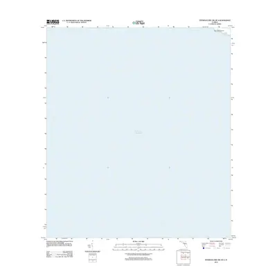
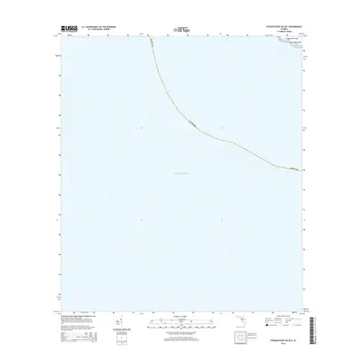
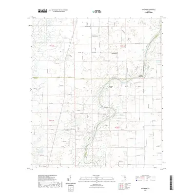
2025 Map of Steinhatchee SW OE S
USGS Topo · Published 2025About this map
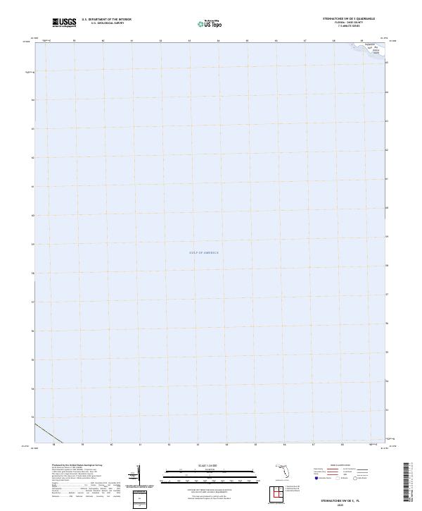
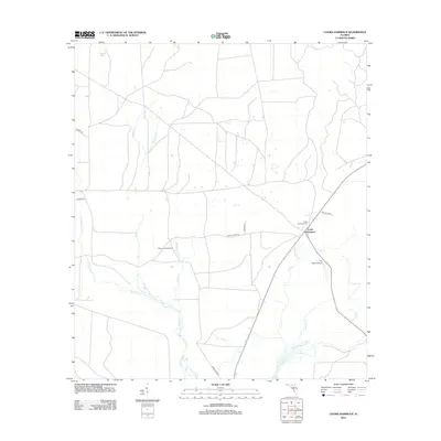
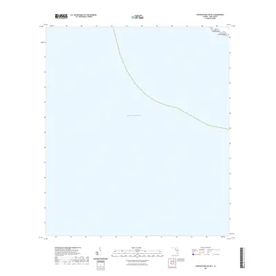
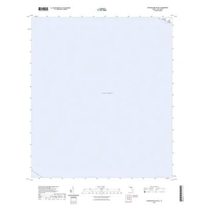
The Gulf of America dominates this coastal survey, where the shallow waters of the Florida coastline meet the edge of Dixie County. The terrain is defined by a sparse collection of offshore features, notably the Pepperfish Keys and Big Grassy Island in the northeastern corner. These small landmasses serve as primary navigational landmarks for this maritime stretch. In this area, the focus is entirely on the aquatic landscape and its few visible outcroppings, providing a clear record of the coastline as it exists in the contemporary era.
Find a feature on this map
3 named features on this map. Tap any name to fly to it.
Don’t see what you’re looking for? This feature index may not catch every label — zoom into the map to look around manually.
Map Details
Editions of this 2025 Steinhatchee SW OE S Map
This is the sole edition of this map. No revisions or reprints were ever made.
Historical Maps of Dixie County Through Time
43 maps found
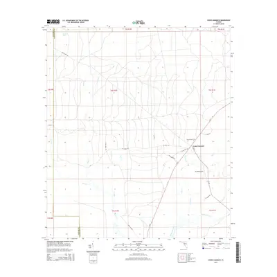
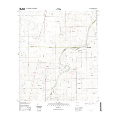
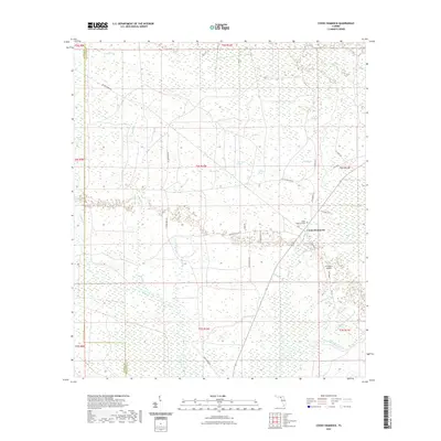
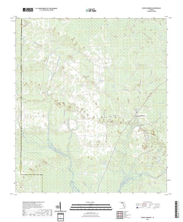
1954 Cooks Hammock
Lafayette County, FL
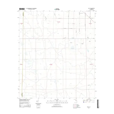
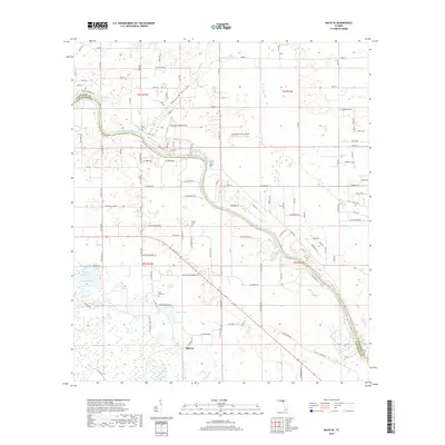
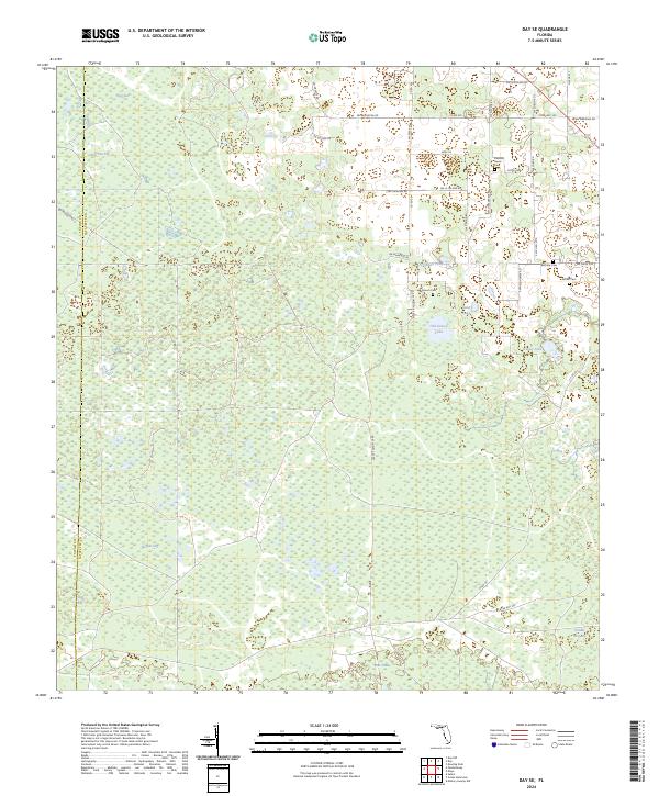
1954 Day SE
Lafayette County, FL
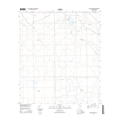
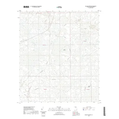
1954 Mallory Swamp NE
Lafayette County, FL
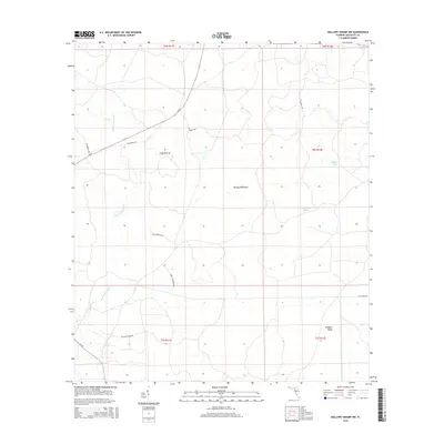
1954 Mallory Swamp NW
Lafayette County, FL
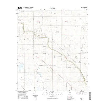
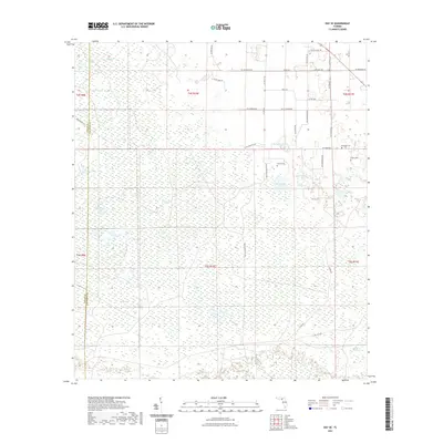
1955 Mayo SE
Lafayette County, FL
1956 Mallory Swamp NW
Lafayette County, FL
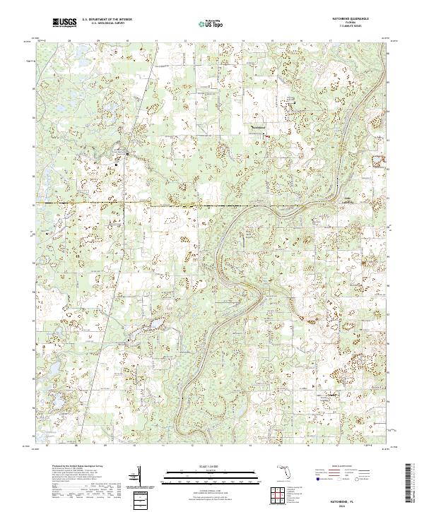
1968 Hatchbend
Lafayette County, FL
2012 Cooks Hammock
Lafayette County, FL
2012 Day SE
Lafayette County, FL

2012 Hatchbend
Lafayette County, FL
2012 Mallory Swamp NE
Lafayette County, FL
2012 Mallory Swamp NW
Lafayette County, FL
2012 Mayo SE
Lafayette County, FL
2012 Steinhatchee SW OE S
Lafayette County, FL
2015 Cooks Hammock
Lafayette County, FL
2015 Day SE
Lafayette County, FL
2015 Hatchbend
Lafayette County, FL
2015 Mallory Swamp NE
Lafayette County, FL
2015 Mallory Swamp NW
Lafayette County, FL
2015 Mayo SE
Lafayette County, FL
2015 Steinhatchee SW OE S
Lafayette County, FL
2018 Cooks Hammock
Lafayette County, FL
2018 Day SE
Lafayette County, FL

2018 Hatchbend
Lafayette County, FL
2018 Mallory Swamp NE
Lafayette County, FL
2018 Mallory Swamp NW
Lafayette County, FL
2018 Mayo SE
Lafayette County, FL

2018 Steinhatchee SW OE S
Lafayette County, FL
2021 Cooks Hammock
Lafayette County, FL
2021 Day SE
Lafayette County, FL
2021 Hatchbend
Lafayette County, FL
2021 Mallory Swamp NE
Lafayette County, FL
2021 Mallory Swamp NW
Lafayette County, FL
2021 Mayo SE
Lafayette County, FL
2021 Steinhatchee SW OE S
Lafayette County, FL
2024 Cooks Hammock
Lafayette County, FL
2024 Day SE
Lafayette County, FL
2024 Hatchbend
Lafayette County, FL
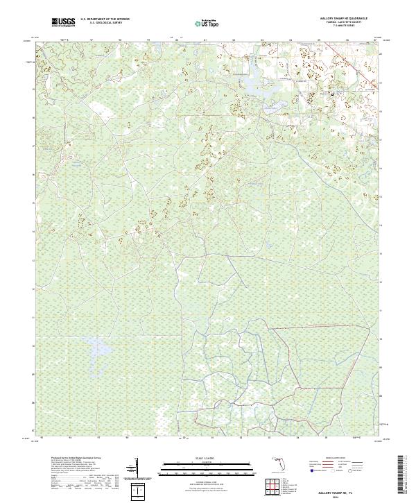
2024 Mallory Swamp NE
Lafayette County, FL
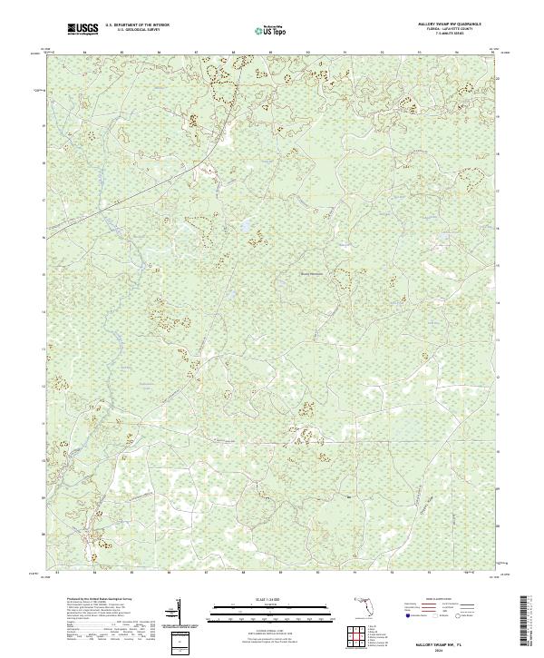
2024 Mallory Swamp NW
Lafayette County, FL
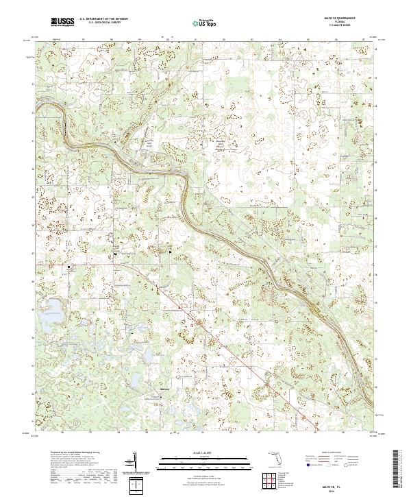
2024 Mayo SE
Lafayette County, FL
2024 Steinhatchee SW OE S
Lafayette County, FL
2025 Steinhatchee SW OE S
Lafayette County, FL