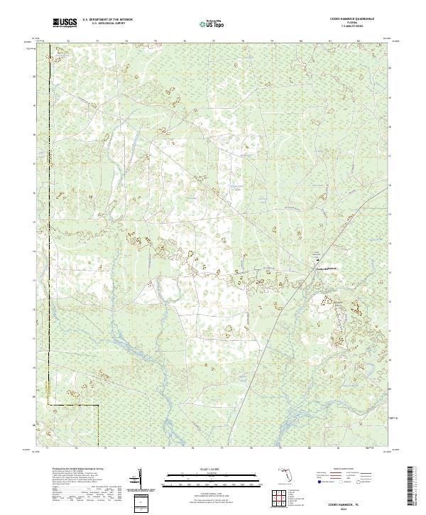
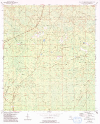
2024 Map of Cooks Hammock
USGS Topo · Published 2024About this map
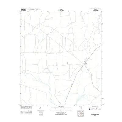
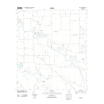
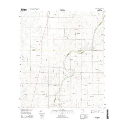
Cooks Hammock serves as the central community in this rural Florida landscape, characterized by an intricate network of wetlands, sloughs, and headwaters. The Steinhatchee River cuts through the southeastern corner, fed by local tributaries like Twomile Branch and Patterson Branch. For genealogists and local historians, the Cooks Hammock Cem is a vital landmark, situated near the intersection of Co Rd 351 and SW Carber Rd.
Find a feature on this map
38 named features on this map. Tap any name to fly to it.
Don’t see what you’re looking for? This feature index may not catch every label — zoom into the map to look around manually.
Map Details
Editions of this 2024 Cooks Hammock Map
This is the sole edition of this map. No revisions or reprints were ever made.
Historical Maps of Cooks Hammock Through Time
43 maps found
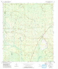
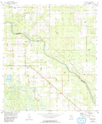
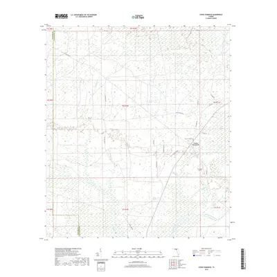
1954 Cooks Hammock
Lafayette County, FL
1954 Day SE
Lafayette County, FL
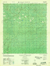
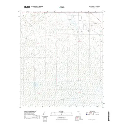
1954 Mallory Swamp NE
Lafayette County, FL
1954 Mallory Swamp NW
Lafayette County, FL
1955 Mayo SE
Lafayette County, FL
1956 Mallory Swamp NW
Lafayette County, FL
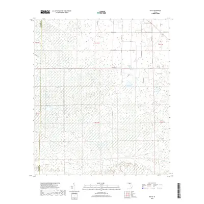
1968 Hatchbend
Lafayette County, FL
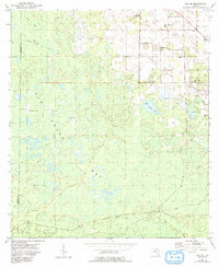
2012 Cooks Hammock
Lafayette County, FL
2012 Day SE
Lafayette County, FL

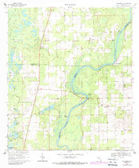
2012 Hatchbend
Lafayette County, FL
2012 Mallory Swamp NE
Lafayette County, FL
2012 Mallory Swamp NW
Lafayette County, FL
2012 Mayo SE
Lafayette County, FL
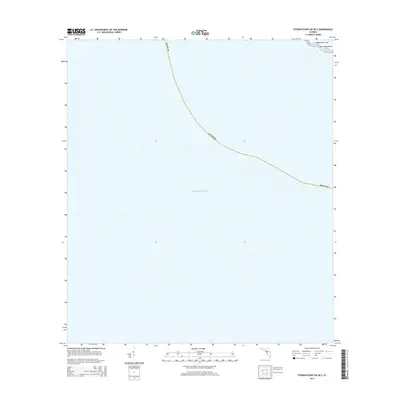
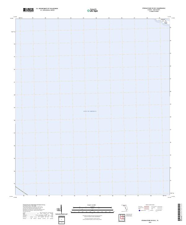
2012 Steinhatchee SW OE S
Lafayette County, FL
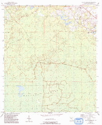
2015 Cooks Hammock
Lafayette County, FL
2015 Day SE
Lafayette County, FL
2015 Hatchbend
Lafayette County, FL
2015 Mallory Swamp NE
Lafayette County, FL
2015 Mallory Swamp NW
Lafayette County, FL
2015 Mayo SE
Lafayette County, FL
2015 Steinhatchee SW OE S
Lafayette County, FL
2018 Cooks Hammock
Lafayette County, FL
2018 Day SE
Lafayette County, FL

2018 Hatchbend
Lafayette County, FL
2018 Mallory Swamp NE
Lafayette County, FL
2018 Mallory Swamp NW
Lafayette County, FL
2018 Mayo SE
Lafayette County, FL

2018 Steinhatchee SW OE S
Lafayette County, FL
2021 Cooks Hammock
Lafayette County, FL
2021 Day SE
Lafayette County, FL
2021 Hatchbend
Lafayette County, FL
2021 Mallory Swamp NE
Lafayette County, FL
2021 Mallory Swamp NW
Lafayette County, FL
2021 Mayo SE
Lafayette County, FL
2021 Steinhatchee SW OE S
Lafayette County, FL
2024 Cooks Hammock
Lafayette County, FL
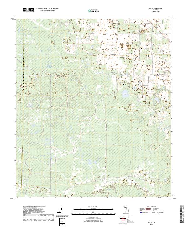
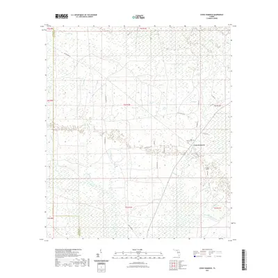
2024 Day SE
Lafayette County, FL
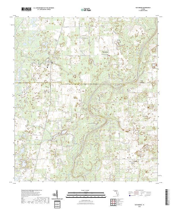
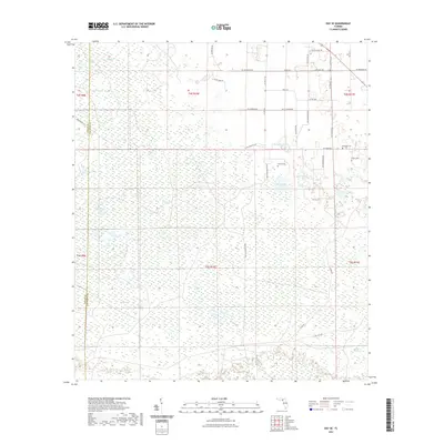
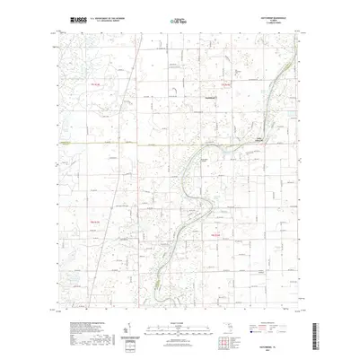
2024 Hatchbend
Lafayette County, FL
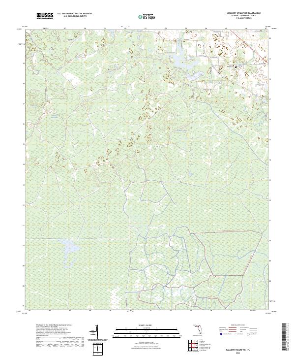
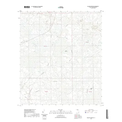
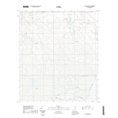
2024 Mallory Swamp NE
Lafayette County, FL
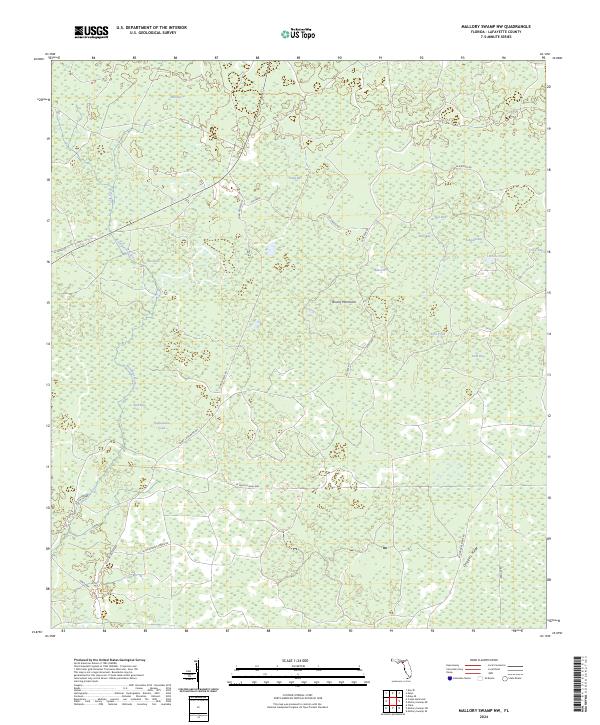
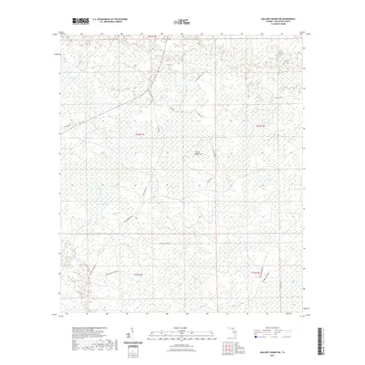
2024 Mallory Swamp NW
Lafayette County, FL
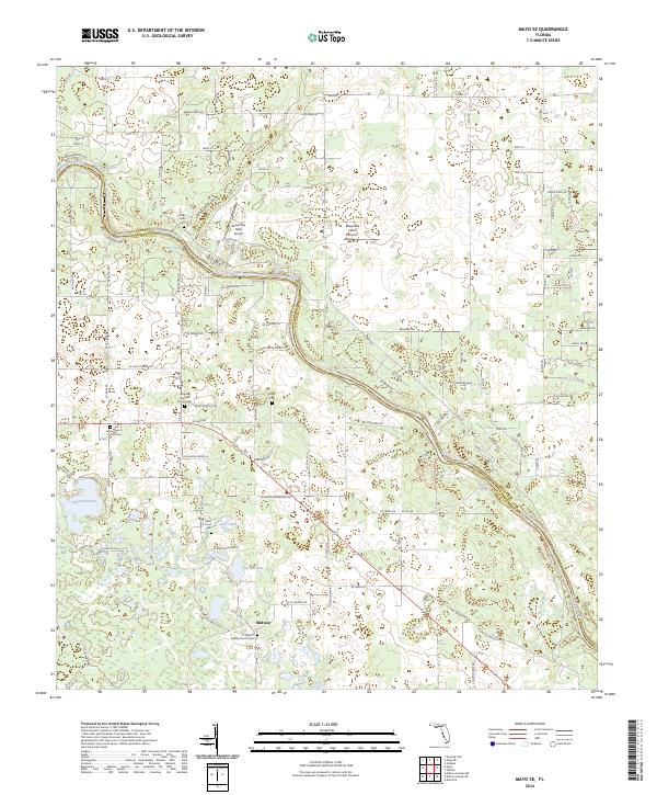
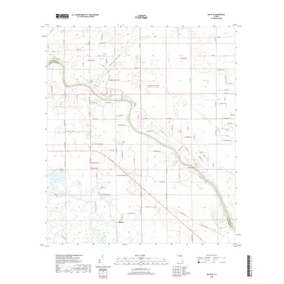
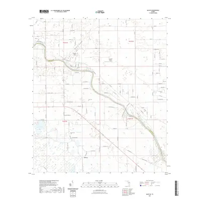
2024 Mayo SE
Lafayette County, FL
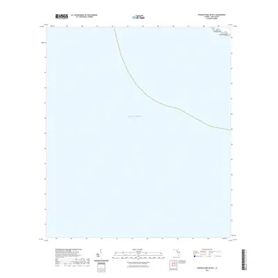
2024 Steinhatchee SW OE S
Lafayette County, FL
2025 Steinhatchee SW OE S
Lafayette County, FL