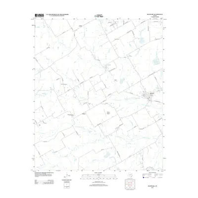
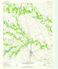
2012 Map of Maypearl
USGS Topo · Published 2012About this map
Maypearl serves as the primary hub in this corner of Ellis County, where the street grid remains concentrated north of Old Maypearl RD. The surrounding countryside is defined by the complex drainage of Fork Chambers Cr, with the North, South, and East Forks carving a series of low-lying basins across the landscape. This area maintains a strong rural character, dotted with private landing strips like Double A Airport and Draggintail Acres Airport, reflecting the modern aviation needs of large Texas landholdings.
Find a feature on this map
86 named features on this map. Tap any name to fly to it.
Don’t see what you’re looking for? This feature index may not catch every label — zoom into the map to look around manually.
Map Details
Editions of this 2012 Maypearl Map
This is the sole edition of this map. No revisions or reprints were ever made.
Other maps of this area

1891 · Cleburne
USGS Topo · 1:125,000

1894 · Cleburne
USGS Topo · 1:125,000

1954 · Dallas
USGS Topo · 1:250,000

1958 · Dallas
USGS Topo · 1:250,000

1960 · Boz
USGS Topo · 1:24,000
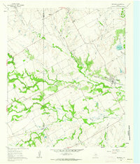
1961 · Maypearl
USGS Topo · 1:24,000

1961 · Alvarado
USGS Topo · 1:24,000
1961 · Midlothian
USGS Topo · 1:24,000
1961 · Venus
USGS Topo · 1:24,000
1961 · Grandview
USGS Topo · 1:24,000