1986 Map of Maysville
USGS Topo · Published 1986About this map
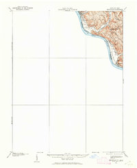
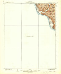
The Ohio River valley serves as the central artery for this mid-1980s landscape, where Kentucky and Ohio meet amidst a complex network of river-town economies and upland ridges. The riverfront is anchored by the historic river crossings at Maysville and Vanceburg, while the northern banks feature the riparian landscapes of Manchester Island No 1 and Manchester Island No 2. This era shows a region balanced between agriculture and heavy transport, with the Chesapeake and Ohio Railway tracing the southern shore while the Norfolk and Western Railway serves the Ohio side.
Find a feature on this map
181 named features on this map. Tap any name to fly to it.
Don’t see what you’re looking for? This feature index may not catch every label — zoom into the map to look around manually.
Map Details
Editions of this 1986 Maysville Map
This is the sole edition of this map. No revisions or reprints were ever made.
Historical Maps of Portsmouth Through Time
4 maps found