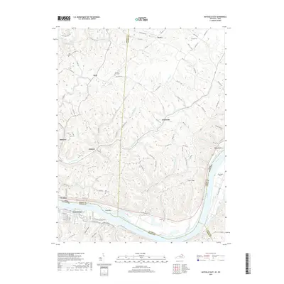
2019 Map of Maysville East
USGS Topo · Published 2019About this map
The Ohio River flows through the center of this landscape, separating Maysville, Kentucky from the northern banks of Aberdeen, Ohio. This area is defined by its numerous small creek drainages, including Big Threemile Cr and Little Threemile Creek, which carve through the terrain and dictate the path of local roads like Bradysville Rd and Clayton Pike. The map reveals a high density of small rural burial grounds and community focal points such as Ebenezer Churchyard and Hiett Chapel, alongside smaller settlements like Slickaway and Ellsberry. Geographers and local historians can trace the transition from the riverfront industry of Manchester to the upland ridges of Ginger Ridge, illustrating the longstanding relationship between the river's path and the development of Mason Co and Brown Co.
Find a feature on this map
103 named features on this map. Tap any name to fly to it.
Don’t see what you’re looking for? This feature index may not catch every label — zoom into the map to look around manually.
Map Details
Editions of this 2019 Maysville East Map
This is the sole edition of this map. No revisions or reprints were ever made.
Other maps of this area

1915 · Maysville
USGS Topo · 1:62,500

1918 · Seaman
USGS Topo · 1:62,500

1919 · Maysville
USGS Topo · 1:62,500

1928 · Higginsport
USGS Topo · 1:48,000

1929 · Springdale
USGS Topo · 1:48,000

1931 · Higginsport
USGS Topo · 1:62,500

1935 · Springdale
USGS Topo · 1:62,500

1952 · Maysville East
USGS Topo · 1:24,000

1952 · Maysville West
USGS Topo · 1:24,000
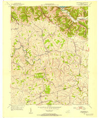
1952 · Orangeburg
USGS Topo · 1:24,000