2024 Map of Mazon
USGS Topo · Published 2024About this map
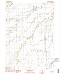
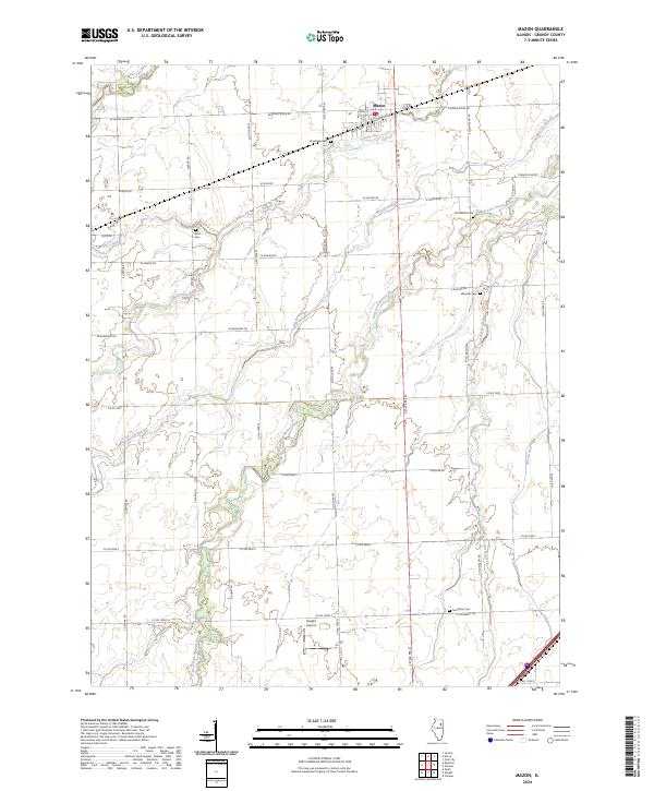
Mazon serves as the central hub of this agricultural landscape, where the Sante Fe Rd railroad corridor cuts through the northern edge of the township. The surrounding terrain is defined by a dense network of watercourses, including the West Fork Mazon River, Johnny Run, and Murray Slough, which weave between a grid of rural roads such as W Mine Rd and E Sucker Rd. This 2024 survey documents a deeply established local history, evidenced by numerous burial grounds scattered across the countryside, from Brookside Cem near the village to the more isolated Goodfarm Cem and Wheeler Cem. The southern reach of the quadrangle features the Dwight Airport, anchoring the area's modern transportation infrastructure alongside traditional drainage ways like Gooseberry Creek and Woods Run.
Find a feature on this map
42 named features on this map. Tap any name to fly to it.
Don’t see what you’re looking for? This feature index may not catch every label — zoom into the map to look around manually.
Map Details
Editions of this 2024 Mazon Map
This is the sole edition of this map. No revisions or reprints were ever made.