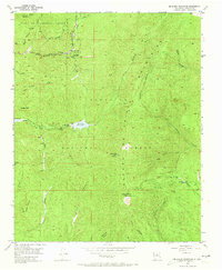
1953 Map of Mc Clure Reservoir
USGS Topo · Published 1973About this map
The Santa Fe National Forest dominates this mid-century landscape, where the high peaks of the Santa Fe Mountains meet early recreational developments and historical land grants. Near the northern boundary, the Juan de Gabaldon Grant encompasses the Evergreen Lodge and Black Canyon Forest Camp, situated along the Hyde Park Road. These areas signify the post-war expansion of forest access for Santa Fe residents and visitors alike.
Find a feature on this map
36 named features on this map. Tap any name to fly to it.
Don’t see what you’re looking for? This feature index may not catch every label — zoom into the map to look around manually.
Map Details
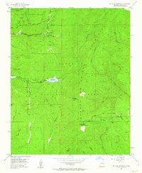
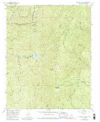
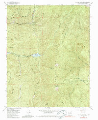
Editions of this 1953 Mc Clure Reservoir Map
5 editions found
Other maps of this area

1889 · Santa Fe
USGS Topo · 1:125,000

1894 · Santa Fe
USGS Topo · 1:125,000

1952 · Santa Fe
USGS Topo · 1:24,000

1952 · Seton Village
USGS Topo · 1:24,000

1953 · Tesuque
USGS Topo · 1:24,000

1953 · Glorieta
USGS Topo · 1:24,000

1953 · Mc Clure Reservoir
USGS Topo · 1:24,000

1953 · Aspen Basin
USGS Topo · 1:24,000

1954 · Santa Fe
USGS Topo · 1:250,000

1958 · Santa Fe
USGS Topo · 1:250,000