
1892 Map of Mc Cormick
USGS Topo · Published 1892About this map
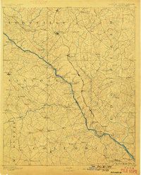
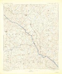
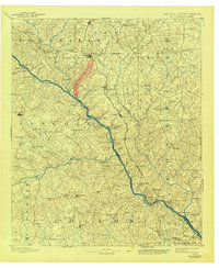
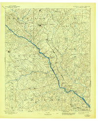
Appling serves as the focal point in this 1890s survey, anchoring a region defined by the complex river systems and early rail corridors of Georgia and South Carolina. The Savannah River and its many crossings, including Rimson Ferry and Barksdale Ferry, emphasize a landscape where water transit remained vital even as the Savannah Valley Railroad began to shape the movement of goods. Local commerce is evident in the numerous water-powered sites such as Searle Mill and Cade Mill, which were central to the agricultural life of Abbeville and Lincoln counties.
Find a feature on this map
113 named features on this map. Tap any name to fly to it.
Don’t see what you’re looking for? This feature index may not catch every label — zoom into the map to look around manually.
Map Details
Editions of this 1892 Mc Cormick Map
5 editions found
Other maps of this area

1892 · Abbeville
USGS Topo · 1:125,000

1893 · Elberton
USGS Topo · 1:125,000

1906 · Crawfordville
USGS Topo · 1:125,000

1908 · Kirksey
USGS Topo · 1:24,000

1912 · Mc Cormick
USGS Topo · 1:125,000

1920 · Clarks Hill
USGS Topo · 1:48,000

1921 · Augusta
USGS Topo · 1:62,500

1921 · Clarks Hill
USGS Topo · 1:62,500

1921 · Appling
USGS Topo · 1:62,500

1922 · Harlem
USGS Topo · 1:62,500