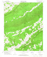
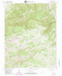
1965 Map of Mc Donalds Mill
USGS Topo · Published 1966This historical map portrays the area of Mc Donalds Mill in 1965, primarily covering Montgomery County as well as portions of Roanoke County and Craig County. Featuring a scale of 1:24000, this map provides a highly detailed snapshot of the terrain, roads, buildings, counties, and historical landmarks in the Mc Donalds Mill region at the time. Published in 1966, it is one of 2 known editions of this map due to revisions or reprints.
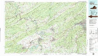
Find a feature on this map
72 named features on this map. Tap any name to fly to it.
Don’t see what you’re looking for? This feature index may not catch every label — zoom into the map to look around manually.
Map Details
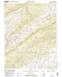
Editions of this 1965 Mc Donalds Mill Map
2 editions found
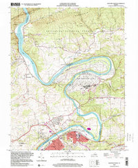
Historical Maps of Roanoke County Through Time
13 maps found
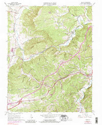
1965 Ironto
Montgomery County, VA
1965 Mc Donalds Mill
Montgomery County, VA
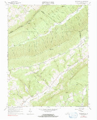
1965 Newport
Montgomery County, VA
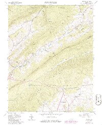
1965 Pilot
Montgomery County, VA

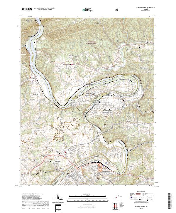
1965 Radford North
Montgomery County, VA
1982 Radford
Montgomery County, VA
1998 Newport
Montgomery County, VA
1998 Radford North
Montgomery County, VA
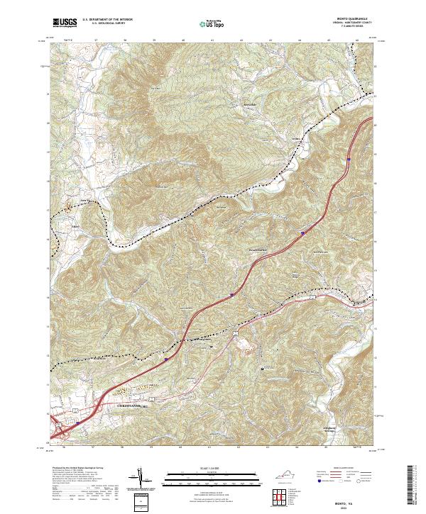
2022 Ironto
Montgomery County, VA
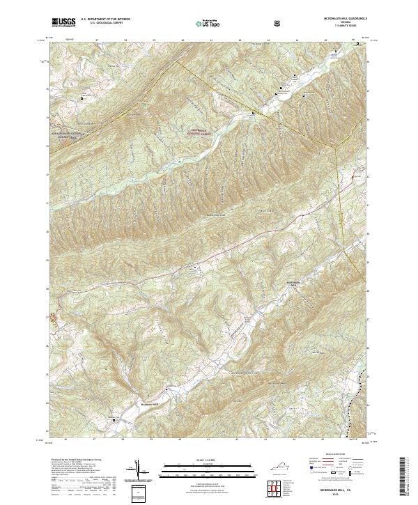
2022 McDonalds Mill
Montgomery County, VA
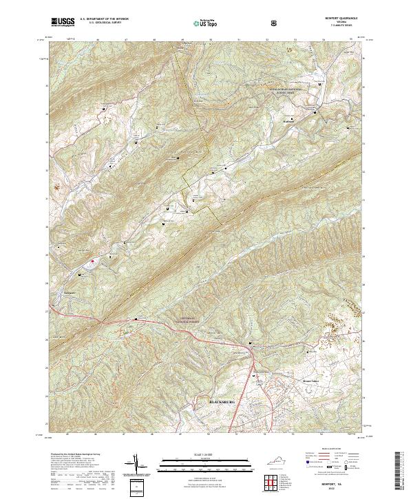
2022 Newport
Montgomery County, VA
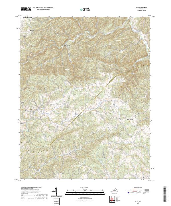
2022 Pilot
Montgomery County, VA
2022 Radford North
Montgomery County, VA