
1926 Map of Mc Henry
USGS Topo · Published 1926About this map
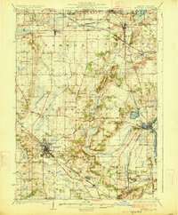
Woodstock stands as a prominent hub in this 1920s landscape, where the Chicago and Northwestern railroad lines converge. The map reveals an exceptionally dense network of rural schoolhouses, such as Keystone School, Stones Corner School, and Vanderkar School, which serviced the agricultural townships of Hebron and Richmond. These small institutions, often named for local families or landmarks, reflect a decentralized educational system before the era of modern consolidation.
Find a feature on this map
71 named features on this map. Tap any name to fly to it.
Don’t see what you’re looking for? This feature index may not catch every label — zoom into the map to look around manually.
Map Details
Editions of this 1926 Mc Henry Map
3 editions found
Other maps of this area

1893 · Delavan
USGS Topo · 1:62,500

1893 · Silver Lake
USGS Topo · 1:62,500

1893 · Geneva
USGS Topo · 1:62,500

1904 · Lake Geneva
USGS Topo · 1:62,500

1906 · Silver Lake
USGS Topo · 1:62,500

1906 · Lake Geneva
USGS Topo · 1:62,500

1920 · Grays Lake
USGS Topo · 1:62,500

1923 · Grays Lake
USGS Topo · 1:62,500

1923 · Barrington
USGS Topo · 1:62,500

1925 · Elgin
USGS Topo · 1:62,500