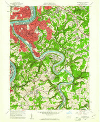
1960 Map of Mc Keesport
USGS Topo · Published 1961About this map
The confluence of the Monongahela River and the Youghiogheny River anchors this 1960 industrial landscape, where the heavy industry of Duquesne and Mc Keesport transitions into the steep, wooded hills of Elizabeth and North Versailles. The map documents a densely developed riverfront dominated by the Union RR and Pittsburgh and Lake Erie RR, supporting a network of steel-town neighborhoods and institutions like the Vocational High Sch.
Find a feature on this map
89 named features on this map. Tap any name to fly to it.
Don’t see what you’re looking for? This feature index may not catch every label — zoom into the map to look around manually.
Map Details
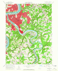
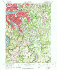
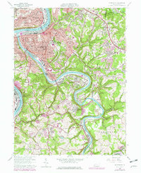
Editions of this 1960 Mc Keesport Map
4 editions found
Other maps of this area

1902 · Brownsville
USGS Topo · 1:62,500

1902 · Connellsville
USGS Topo · 1:62,500

1904 · Mc Keesport
USGS Topo · 1:62,500

1904 · Greensburg
USGS Topo · 1:62,500

1906 · Brownsville
USGS Topo · 1:62,500

1906 · Greensburg
USGS Topo · 1:62,500

1907 · Pittsburg
USGS Topo · 1:62,500

1931 · Brownsville
USGS Topo · 1:62,500

1931 · Connellsville
USGS Topo · 1:62,500

1933 · Brownsville
USGS Topo · 1:62,500