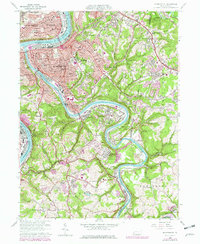
1960 Map of Mc Keesport
USGS Topo · Published 1979About this map
The Youghiogheny River winds through this industrial heartland, meeting the Monongahela River at the prominent river-bend city of Mc Keesport. This 1960s-era landscape is defined by its deep-rooted ethnic and religious heritage, evidenced by a dense concentration of parish landmarks like St Nicholas Cem, St Joseph Ch, and St Stephens Ch. The rail-dominated riverfronts, served by the Pittsburgh and Lake Erie and Baltimore and Ohio railroads, support heavy industry while smaller settlements like Greenock, Boston, and Buena Vista hug the river valley. Higher elevations reveal a shift toward public spaces and education, including Renziehausen Park and the Elizabeth-Forward High Sch. Evidence of the region's extractive economy remains visible through scattered Strip Mine sites and gas wells, contrasting with the established residential street grids of West Mifflin and Duquesne.
Find a feature on this map
86 named features on this map. Tap any name to fly to it.
Don’t see what you’re looking for? This feature index may not catch every label — zoom into the map to look around manually.
Map Details
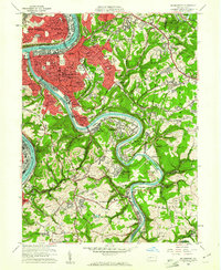
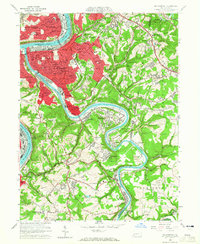
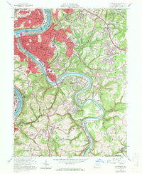
Editions of this 1960 Mc Keesport Map
4 editions found
Other maps of this area

1902 · Brownsville
USGS Topo · 1:62,500

1902 · Connellsville
USGS Topo · 1:62,500

1904 · Mc Keesport
USGS Topo · 1:62,500

1904 · Greensburg
USGS Topo · 1:62,500

1906 · Brownsville
USGS Topo · 1:62,500

1906 · Greensburg
USGS Topo · 1:62,500

1907 · Pittsburg
USGS Topo · 1:62,500

1931 · Brownsville
USGS Topo · 1:62,500

1931 · Connellsville
USGS Topo · 1:62,500

1933 · Brownsville
USGS Topo · 1:62,500