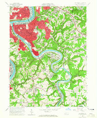
1960 Map of Mc Keesport
USGS Topo · Published 1965About this map
The confluence of the Monongahela River and the Youghiogheny River anchors this industrial landscape, where the dense urban grid of Mc Keesport sits across from the heavy rail infrastructure and steel-town neighborhoods of Duquesne and Port Vue. These waterways are flanked by the Pittsburgh and Lake Erie Railroad and the Baltimore and Ohio Railroad, illustrating the transport-dependent economy of the Mon Valley in the mid-20th century. Beyond the city center, residential patterns climb the hills into White Oak and Versailles, while numerous strip mines dot the more rural expanses near Guffey and Shaner. The map is particularly detailed regarding institutional history, noting the Penn State Univ Cen, the St Josephs Convent, and significant burial grounds like the expansive McKeesport and Versailles Cemetery, which reflect the community's established social and religious fabric.
Find a feature on this map
93 named features on this map. Tap any name to fly to it.
Don’t see what you’re looking for? This feature index may not catch every label — zoom into the map to look around manually.
Map Details
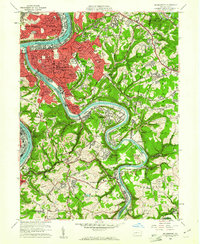
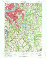
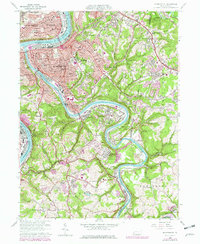
Editions of this 1960 Mc Keesport Map
4 editions found
Other maps of this area

1902 · Brownsville
USGS Topo · 1:62,500

1902 · Connellsville
USGS Topo · 1:62,500

1904 · Mc Keesport
USGS Topo · 1:62,500

1904 · Greensburg
USGS Topo · 1:62,500

1906 · Brownsville
USGS Topo · 1:62,500

1906 · Greensburg
USGS Topo · 1:62,500

1907 · Pittsburg
USGS Topo · 1:62,500

1931 · Brownsville
USGS Topo · 1:62,500

1931 · Connellsville
USGS Topo · 1:62,500

1933 · Brownsville
USGS Topo · 1:62,500