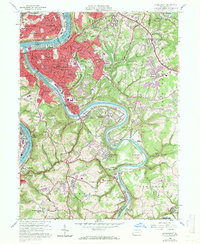
1960 Map of Mc Keesport
USGS Topo · Published 1971About this map
The industrial corridor of the Monongahela River and Youghiogheny River anchors this mid-century survey of Mc Keesport and its surrounding boroughs. The convergence of heavy infrastructure is evident, with the Monongahela Connecting RR and Pittsburgh and Lake Erie railroads serving the dense urban centers of Duquesne and West Mifflin. Extensive residential expansion is visible in the hills east of the rivers, where neighborhoods like Eden Park and Greenock give way to the more open spaces of White Oak Regional Park.
Find a feature on this map
95 named features on this map. Tap any name to fly to it.
Don’t see what you’re looking for? This feature index may not catch every label — zoom into the map to look around manually.
Map Details
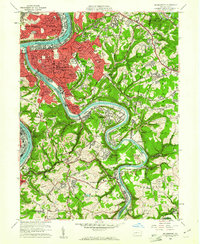
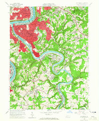
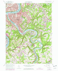
Editions of this 1960 Mc Keesport Map
4 editions found
Other maps of this area

1902 · Brownsville
USGS Topo · 1:62,500

1902 · Connellsville
USGS Topo · 1:62,500

1904 · Mc Keesport
USGS Topo · 1:62,500

1904 · Greensburg
USGS Topo · 1:62,500

1906 · Brownsville
USGS Topo · 1:62,500

1906 · Greensburg
USGS Topo · 1:62,500

1907 · Pittsburg
USGS Topo · 1:62,500

1931 · Brownsville
USGS Topo · 1:62,500

1931 · Connellsville
USGS Topo · 1:62,500

1933 · Brownsville
USGS Topo · 1:62,500