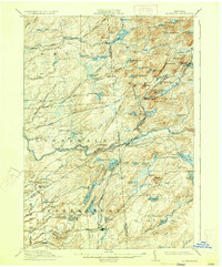
1912 Map of Mc Keever
USGS Topo · Published 1933About this map
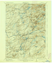
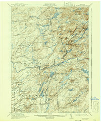
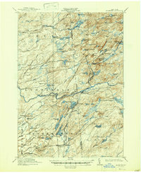
The New York Central and Hudson River railroad cuts through this mountainous section of the Adirondacks, connecting the settlement of Mc Keever to the outside world. This 1910 survey captures a landscape defined by its complex waterway network, where the Middle Branch and Moose River snake through high-elevation terrain punctuated by dozens of named ponds and lakes. Remote logging or recreational outposts like Becks Camp and Millard's Camp are scattered throughout the northern reaches of Greig and Webb, illustrating the region's early 20th-century character as a timber and wilderness enclave.
Find a feature on this map
103 named features on this map. Tap any name to fly to it.
Don’t see what you’re looking for? This feature index may not catch every label — zoom into the map to look around manually.
Map Details
Editions of this 1912 Mc Keever Map
8 editions found

Other maps of this area

1897 · Remsen
USGS Topo · 1:62,500

1900 · Remsen
USGS Topo · 1:62,500

1900 · Wilmurt
USGS Topo · 1:62,500

1901 · Old Forge
USGS Topo · 1:62,500

1902 · Wilmurt
USGS Topo · 1:62,500

1903 · Big Moose
USGS Topo · 1:62,500

1904 · Boonville
USGS Topo · 1:62,500

1905 · Port Leyden
USGS Topo · 1:62,500

1907 · Port Leyden
USGS Topo · 1:62,500

1911 · Lowville
USGS Topo · 1:62,500