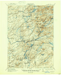
1912 Map of Mc Keever
USGS Topo · Published 1947About this map
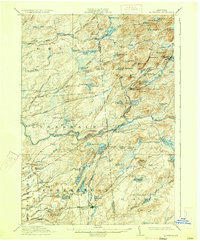
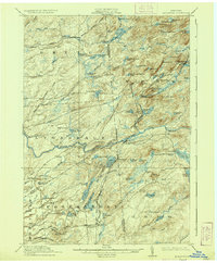
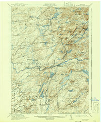
Mc Keever serves as the focal point for this survey of the Adirondack wilderness, where the New York Central and Hudson River railroad follows the Moose River through a landscape defined by logging and early tourism. The map documents numerous seasonal outposts and family-named landmarks such as Becks Camp, Millards Camp, and Hubbards, reflecting the era's reliance on established camps for backcountry navigation.
Find a feature on this map
108 named features on this map. Tap any name to fly to it.
Don’t see what you’re looking for? This feature index may not catch every label — zoom into the map to look around manually.
Map Details
Editions of this 1912 Mc Keever Map
8 editions found

Other maps of this area

1897 · Remsen
USGS Topo · 1:62,500

1900 · Remsen
USGS Topo · 1:62,500

1900 · Wilmurt
USGS Topo · 1:62,500

1901 · Old Forge
USGS Topo · 1:62,500

1902 · Wilmurt
USGS Topo · 1:62,500

1903 · Big Moose
USGS Topo · 1:62,500

1904 · Boonville
USGS Topo · 1:62,500

1905 · Port Leyden
USGS Topo · 1:62,500

1907 · Port Leyden
USGS Topo · 1:62,500

1911 · Lowville
USGS Topo · 1:62,500