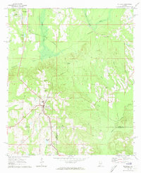
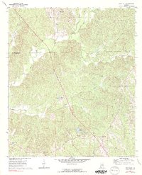
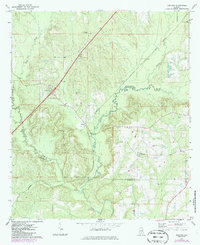
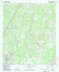
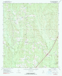
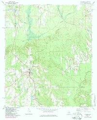
1971 Map of Mc Kenzie
USGS Topo · Published 1973This historical map portrays the area of Mc Kenzie in 1971, primarily covering Butler County as well as portions of Covington County and Conecuh County. Featuring a scale of 1:24000, this map provides a highly detailed snapshot of the terrain, roads, buildings, counties, and historical landmarks in the Mc Kenzie region at the time. Published in 1973, it is one of 2 known editions of this map due to revisions or reprints.
Find a feature on this map
33 named features on this map. Tap any name to fly to it.
Don’t see what you’re looking for? This feature index may not catch every label — zoom into the map to look around manually.
Map Details
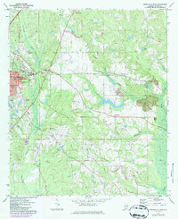
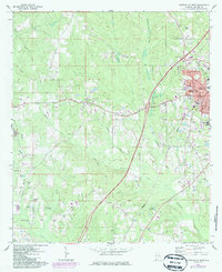
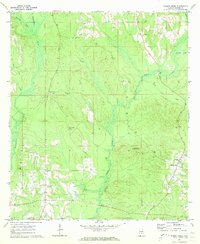
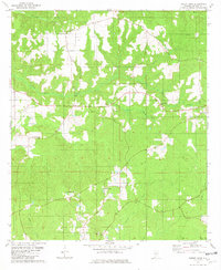
Editions of this 1971 Mc Kenzie Map
2 editions found
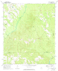
Historical Maps of Rhodes Through Time
11 maps found
1971 Fort Dale
Butler County, AL
1971 Garland
Butler County, AL
1971 Georgiana East
Butler County, AL
1971 Georgiana West
Butler County, AL
1971 Greenville East
Butler County, AL
1971 Greenville West
Butler County, AL
1971 Industry
Butler County, AL
1971 Mc Kenzie
Butler County, AL
1971 Pigeon Creek
Butler County, AL
1981 Forest Home
Butler County, AL
1981 Ridgeville
Butler County, AL