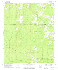
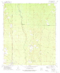
1973 Map of Mc Kinney
USGS Topo · Published 1975About this map
The Cleveland Co and Bradley Co boundary line divides a landscape defined by creeks and timberlands in the early 1970s. This survey records the rural transition of south-central Arkansas, where the Old Railroad Grade and Old Camden Road represent the evolving transport network of the Quachita Valley. Scattered settlements like Mc Kinney and Hollis are anchored by numerous country churches, including Moseley Chapel and Greenland Ch, reflecting the deep-seated social geography of these communities.
Find a feature on this map
32 named features on this map. Tap any name to fly to it.
Don’t see what you’re looking for? This feature index may not catch every label — zoom into the map to look around manually.
Map Details
Editions of this 1973 Mc Kinney Map
2 editions found
Other maps of this area

1953 · El Dorado
USGS Topo · 1:250,000

1957 · El Dorado
USGS Topo · 1:250,000

1958 · El Dorado
USGS Topo · 1:250,000

1960 · El Dorado
USGS Topo · 1:250,000

1966 · Kingsland
USGS Topo · 1:24,000

1970 · New Edinburg
USGS Topo · 1:24,000

1970 · Herbine
USGS Topo · 1:24,000
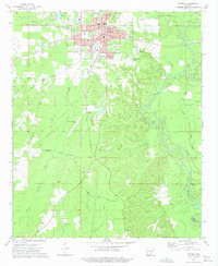
1973 · Warren
USGS Topo · 1:24,000
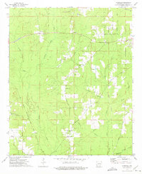
1973 · Farmville
USGS Topo · 1:24,000
1973 · Tinsman
USGS Topo · 1:24,000