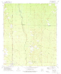
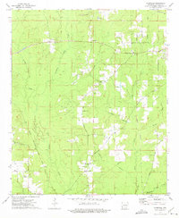
1973 Map of Tinsman
USGS Topo · Published 1975About this map
Tinsman serves as the focal point of this South Arkansas survey, situated where the Chicago Rock Island and Pacific railroad cuts through the timberlands of southern Calhoun County. The landscape is defined by the winding course of Moro Creek, which acts as a shifting natural boundary between Cleveland, Bradley, and Calhoun counties. A series of interconnected waterways including Big Slough, White Oak Creek, and Irish Bill Creek drain the surrounding lowlands, illustrating the complex hydrology of the Gulf Coastal Plain. Evidence of early overland travel remains visible in the path of the Old Camden Road, while local community life is anchored by landmarks like Ellisville Ch, Blue Springs Ch, and Williams Cem. Extractive activity is also present, marked by several Gravel Pits concentrated near the southern springs.
Find a feature on this map
30 named features on this map. Tap any name to fly to it.
Don’t see what you’re looking for? This feature index may not catch every label — zoom into the map to look around manually.
Map Details
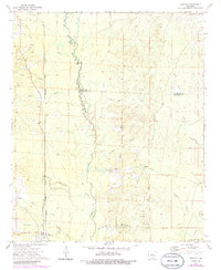
Editions of this 1973 Tinsman Map
2 editions found
Other maps of this area

1953 · El Dorado
USGS Topo · 1:250,000

1957 · El Dorado
USGS Topo · 1:250,000

1958 · El Dorado
USGS Topo · 1:250,000

1960 · El Dorado
USGS Topo · 1:250,000

1966 · Kingsland
USGS Topo · 1:24,000

1966 · Fordyce
USGS Topo · 1:24,000

1970 · New Edinburg
USGS Topo · 1:24,000
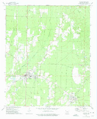
1973 · Hampton
USGS Topo · 1:24,000
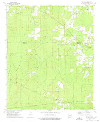
1973 · Mc Kinney
USGS Topo · 1:24,000
1973 · Farmville
USGS Topo · 1:24,000