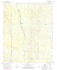
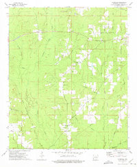
1973 Map of Tinsman
USGS Topo · Published 1986About this map
Moro Creek winds through this South Arkansas landscape, serving as the primary boundary between Calhoun, Cleveland, and Bradley counties. The map reflects a rural economy shaped by timber and aggregate extraction, evidenced by various Gravel Pits and a network of creeks like L'Aigle Creek and Irish Bill Creek. The settlement at Tinsman is anchored by the W & O V railroad line, while local community life is marked by centers such as Ellisville Ch and Blue Springs Ch.
Find a feature on this map
36 named features on this map. Tap any name to fly to it.
Don’t see what you’re looking for? This feature index may not catch every label — zoom into the map to look around manually.
Map Details
Editions of this 1973 Tinsman Map
2 editions found
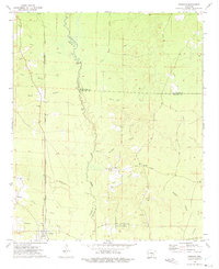
Other maps of this area

1953 · El Dorado
USGS Topo · 1:250,000

1957 · El Dorado
USGS Topo · 1:250,000

1958 · El Dorado
USGS Topo · 1:250,000

1960 · El Dorado
USGS Topo · 1:250,000

1966 · Kingsland
USGS Topo · 1:24,000

1966 · Fordyce
USGS Topo · 1:24,000

1970 · New Edinburg
USGS Topo · 1:24,000
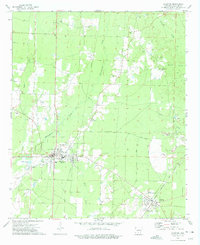
1973 · Hampton
USGS Topo · 1:24,000
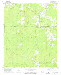
1973 · Mc Kinney
USGS Topo · 1:24,000
1973 · Farmville
USGS Topo · 1:24,000